Ituʻmuta, Rotuma
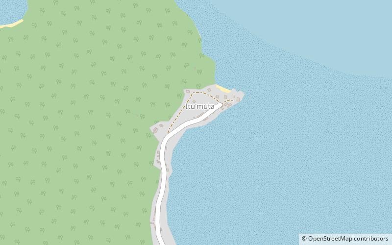
Map
Facts and practical information
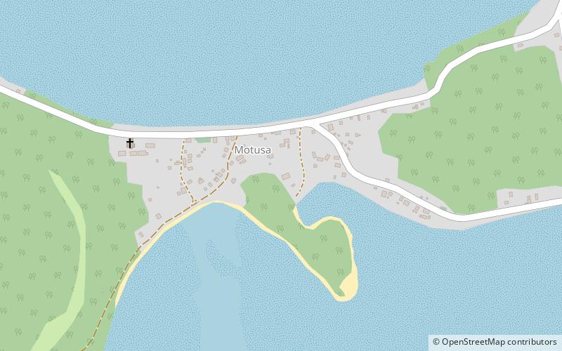
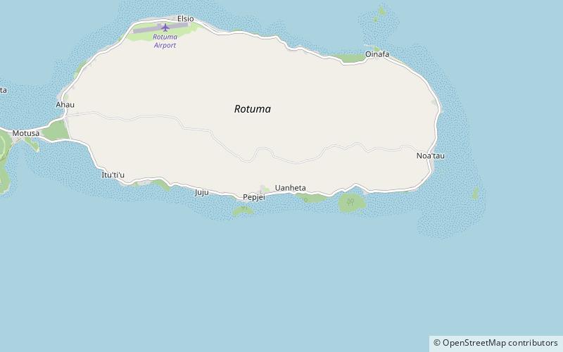
Ituʻmuta is one of the seven districts on the island of Rotuma, a dependency of Fiji. It includes the villages of Maftoa and Lopo. ()
Coordinates: 12°29'54"S, 177°1'47"E
Address
Rotuma
ContactAdd
Social media
Add
Day trips
Ituʻmuta – popular in the area (distance from the attraction)
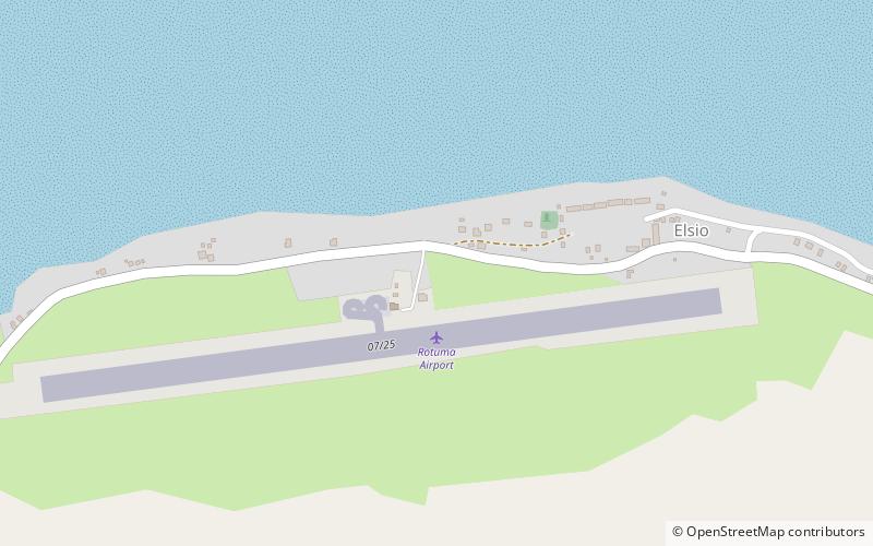
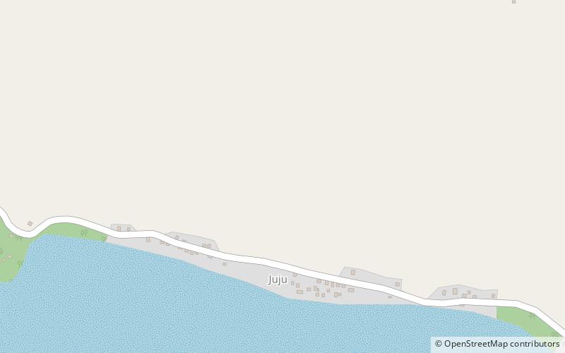
Nearby attractions include: Uea, Ituʻtiʻu, Malhaha, Juju.

