Vuosaarenhuippu, Helsinki
Gallery (2)
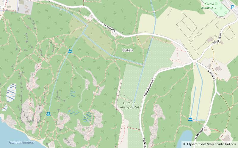
Map
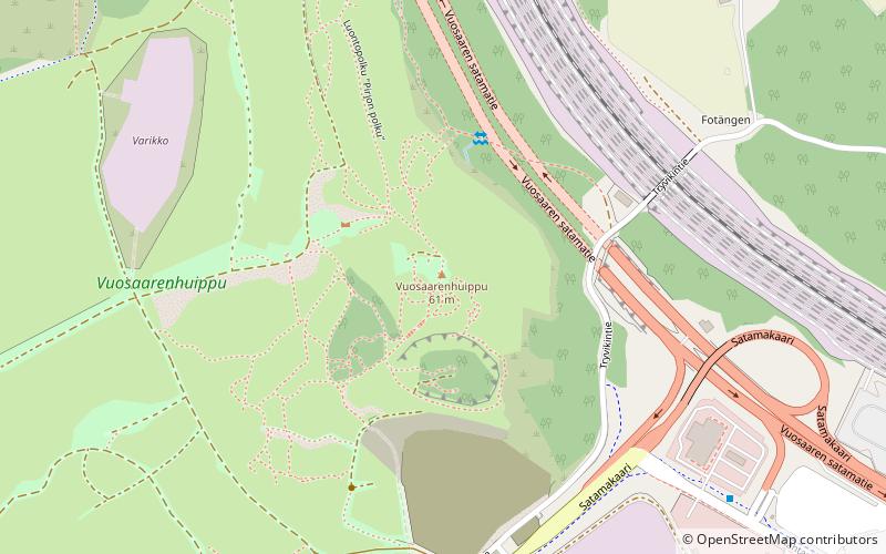
Map
Gallery
Facts and practical information
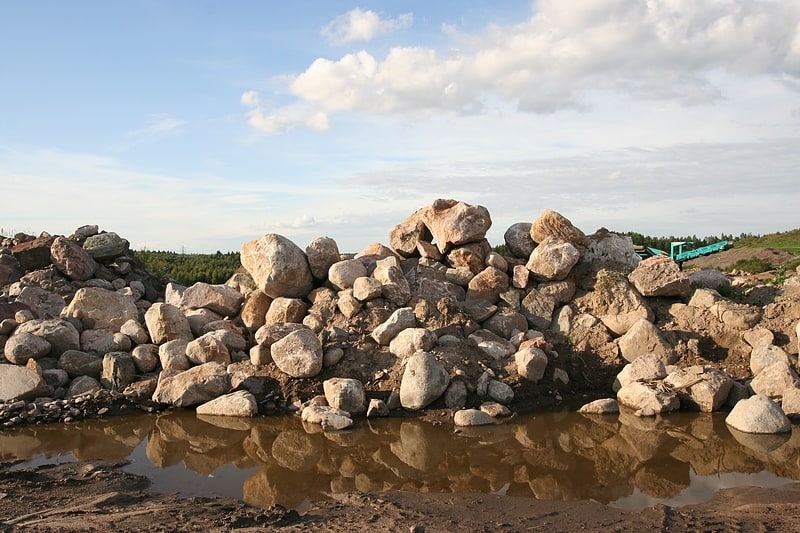
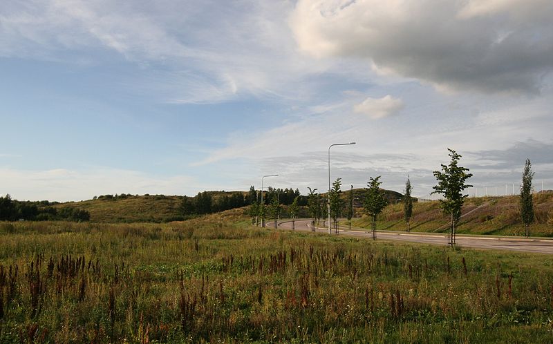
Vuosaarenhuippu is a recreational area in the northern part of Vuosaari in eastern Helsinki. Earlier it was the Vuosaari dumping ground and a place where land masses from construction sites was deposited. Through ecological restoration the area has been turned into a natural-like environment, the scale of which is unprecedented in the history of Helsinki. A large number of both flora and fauna inhabit the area. There are paths connecting the area to the nearby Mustavuori protected area. ()
Elevation: 138 ft a.s.l.Coordinates: 60°13'36"N, 25°9'47"E
Address
Itäinen (Vuosaari)Helsinki
ContactAdd
Social media
Add
Getting there by public transportation
Public transportation stops near this location
- Bus
 Bus
Bus
- Calculate routePorslahdentie 14 min walk
- Calculate routeHansaterminaali 15 min walk
- Calculate routeVoimalaitokset 17 min walk
- Calculate routeKäärmeniementie 18 min walk
Day trips


Frequently Asked Questions (FAQ)
When is Vuosaarenhuippu open?
Vuosaarenhuippu is open:
- Monday 24h
- Tuesday 24h
- Wednesday 24h
- Thursday 24h
- Friday 24h
- Saturday 24h
- Sunday 24h
How to get to Vuosaarenhuippu by public transport?
The nearest stations to Vuosaarenhuippu:
Bus
Bus
- Porslahdentie • Lines: 96, 96N (14 min walk)
- Hansaterminaali • Lines: 90, 90A (15 min walk)