Talinhuippu, Helsinki
Map
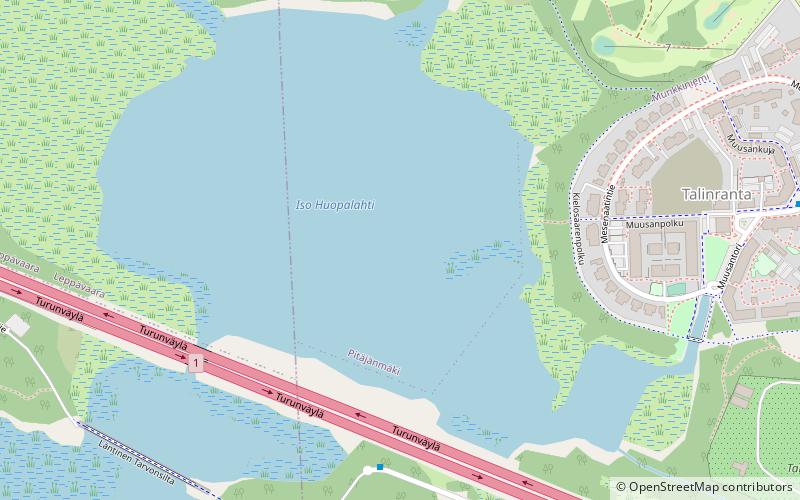
Map

Facts and practical information
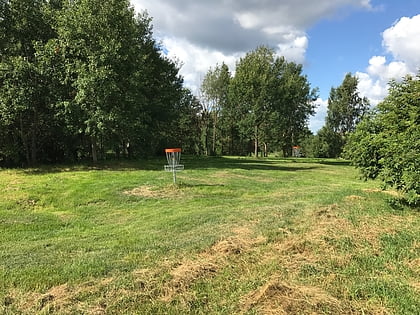
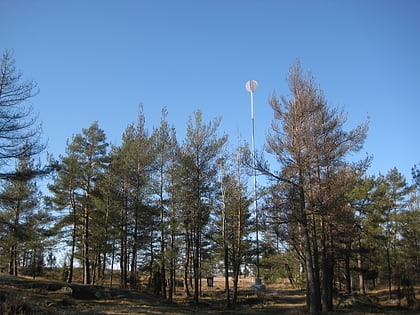
Talinhuippu is a former dumping ground known as the Iso-Huopalahti dumping ground, and was one of the “big three” dumping grounds in Helsinki at the time it was in operation. The site is located at the boundary between Helsinki and Espoo and was in use from 1963 to 1979. It is located between Talinranta, the Tali Golf Course and the Vermo harness racing track, on the northern shore of the Laajalahti Bay, north of Tarvo Island and Finnish national road 1. ()
Elevation: 3 ft a.s.l.Coordinates: 60°12'25"N, 24°50'56"E
Address
Helsinki
ContactAdd
Social media
Add
Day trips
Talinhuippu – popular in the area (distance from the attraction)
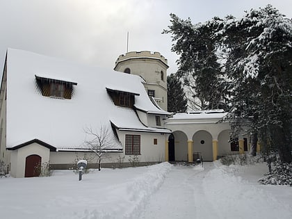
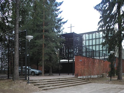
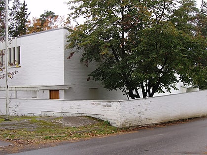
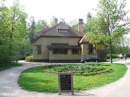
Nearby attractions include: Tamminiemi, Gallen-Kallela Museum, Vermo, Otaniemi Chapel.
Frequently Asked Questions (FAQ)
Which popular attractions are close to Talinhuippu?
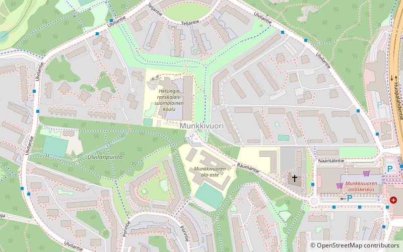
Nearby attractions include Gallen-Kallela Museum, Espoo (9 min walk), Munkkivuori, Helsinki (20 min walk).
How to get to Talinhuippu by public transport?
The nearest stations to Talinhuippu:
Bus
Train
Tram
Bus
- Tarvonsalmenkatu • Lines: 202 (16 min walk)
- Kaarlo Sarkian katu • Lines: 202 (18 min walk)
Train
- Mäkkylä (26 min walk)
- Pitäjänmäki (31 min walk)
Tram
- Tiilimäki • Lines: 4 (30 min walk)
- Laajalahden aukio • Lines: 4 (30 min walk)
