Konala, Helsinki
Map
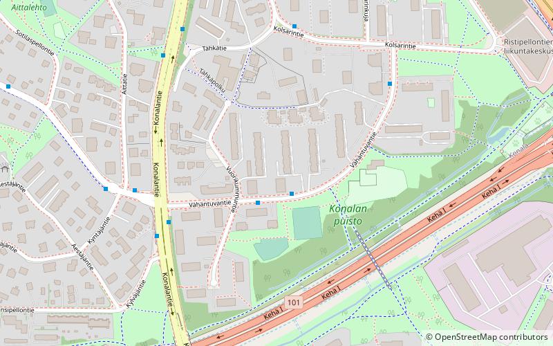
Map

Facts and practical information
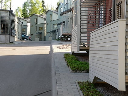
Konala, Kånala is a subdistrict of Helsinki, Finland. Konala has about 4500 inhabitants and about 3000 jobs. Konala is situated in north-western Helsinki, north of Ring I road and Pitäjänmäki, west of Malminkartano and Kannelmäki. It is bordered from the south by Ring I, east by green zone which separates at the industrial area along Vihdintie and the west at Espoo's border. ()
Address
Läntinen (Pitäjänmäki)Helsinki
ContactAdd
Social media
Add
Day trips
Konala – popular in the area (distance from the attraction)
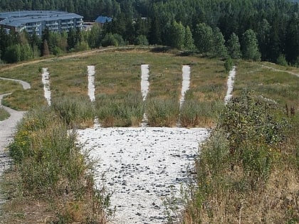
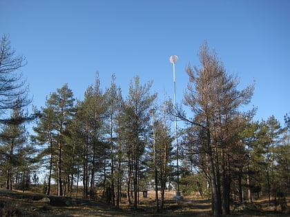
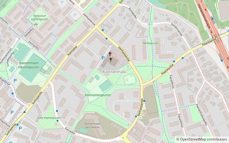
Nearby attractions include: Malminkartanonhuippu, Pajamäki Solar System Scale Model, Kannelmäki, Lintuvaara.
Frequently Asked Questions (FAQ)
Which popular attractions are close to Konala?
Nearby attractions include Pajamäki Solar System Scale Model, Helsinki (22 min walk), Pitäjänmäki, Helsinki (23 min walk).
How to get to Konala by public transport?
The nearest stations to Konala:
Bus
Train
Bus
- Konalantie • Lines: 553 (7 min walk)
- Vihdintie • Lines: 553 (8 min walk)
Train
- Pitäjänmäki (21 min walk)
- Mäkkylä (22 min walk)
