Kannelmäki, Helsinki
Map
Facts and practical information
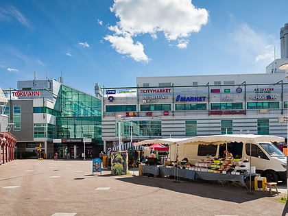
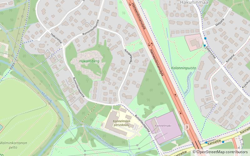
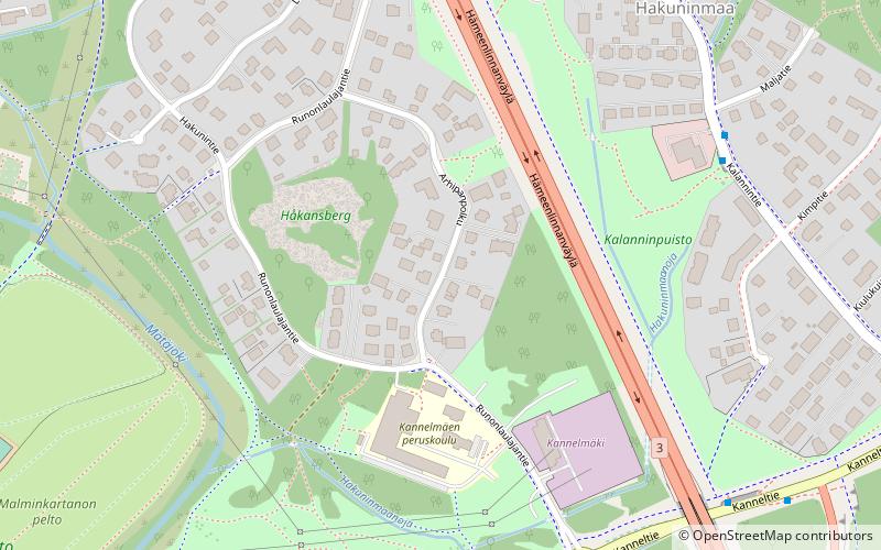
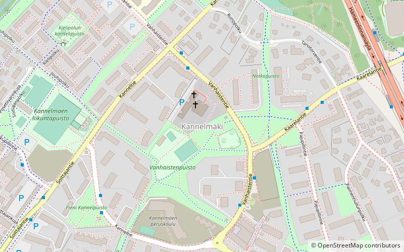
Kannelmäki is a sub-neighbourhood of the neighbourhood of Kaarela in Helsinki, Finland. Kannelmäki is located a bit more than ten kilometres from the centre of Helsinki, and is bounded by Kehä I in the south, Hämeenlinnanväylä in the east, and the Mätäjoki river in the west and north. It is a part of the Western major district. In early 2006, Kannelmäki had 12 488 inhabitants. ()
Address
Läntinen (Kaarela)Helsinki
ContactAdd
Social media
Add
Day trips
Kannelmäki – popular in the area (distance from the attraction)
Nearby attractions include: Myyrmanni, Kauppakeskus Kaari, Vantaan taidemuseo Artsi, Pirkkola.
Frequently Asked Questions (FAQ)
Which popular attractions are close to Kannelmäki?
Nearby attractions include Kaarela, Helsinki (12 min walk), Hakuninmaa, Helsinki (12 min walk), Maununneva, Helsinki (13 min walk).
How to get to Kannelmäki by public transport?
The nearest stations to Kannelmäki:
Bus
Train
Bus
- Vanhaistentie 11 • Lines: 42 (3 min walk)
- Kannelmäen ostoskeskus • Lines: 42 (3 min walk)
Train
- Kannelmaki (9 min walk)
- Malminkartano (22 min walk)
