Beach, Jyväskylä
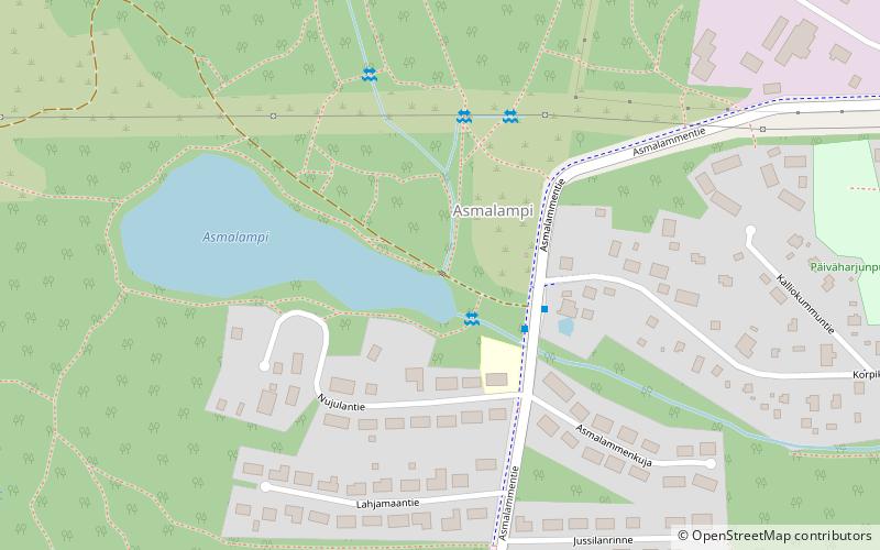
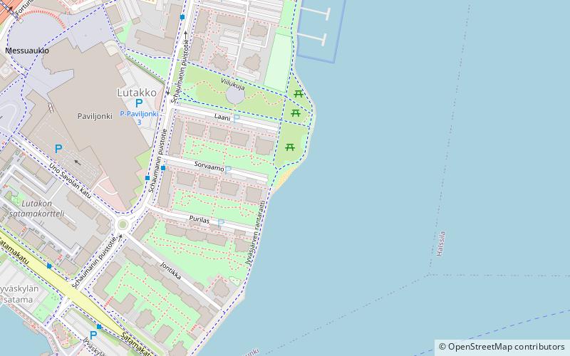
Map
Facts and practical information
Beach is a place located in Jyväskylä (Western Finland province) and belongs to the category of beach.
It is situated at an altitude of 453 feet, and its geographical coordinates are 62°15'11"N latitude and 25°49'50"E longitude.
Planning a visit to this place, one can easily and conveniently get there by public transportation. Beach is a short distance from the following public transport stations: Korpikallentie th 1 (bus, 2 min walk).
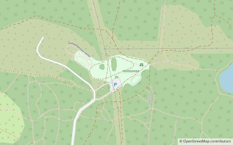
Among other places and attractions worth visiting in the area are: Hiihtomaa (winter sport, 12 min walk), Halssila (neighbourhood, 32 min walk), Huhtasuo (neighbourhood, 38 min walk).
Local name: UimarantaCoordinates: 62°15'11"N, 25°49'50"E
Address
Jyväskylä
ContactAdd
Social media
Add
Getting there by public transportation
Public transportation stops near this location
- Bus
 Bus
Bus
- Calculate routeKorpikallentie th 1 2 min walk
- Calculate routeKorpikallentie th 2 2 min walk
- Calculate routeAsmalampi 2 6 min walk
Day trips


Frequently Asked Questions (FAQ)
How to get to Beach by public transport?
The nearest stations to Beach:
Bus
Bus
- Korpikallentie th 1 • Lines: 3 (2 min walk)
- Korpikallentie th 2 • Lines: 2, 3 (2 min walk)