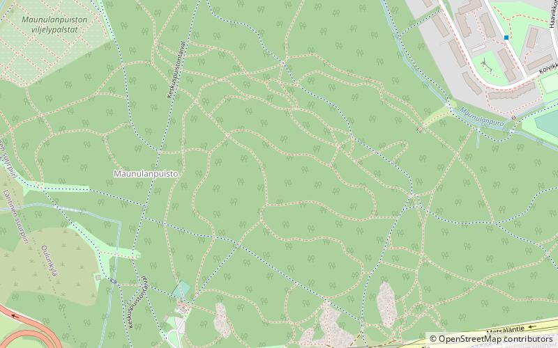
Central Park, Helsinki

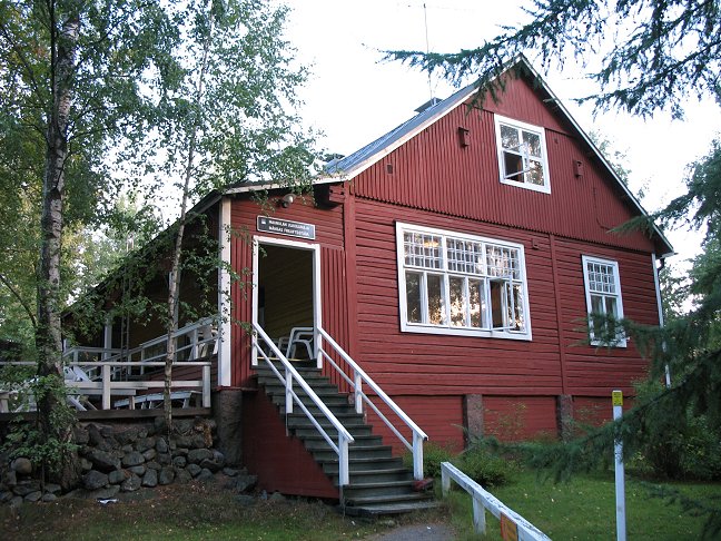
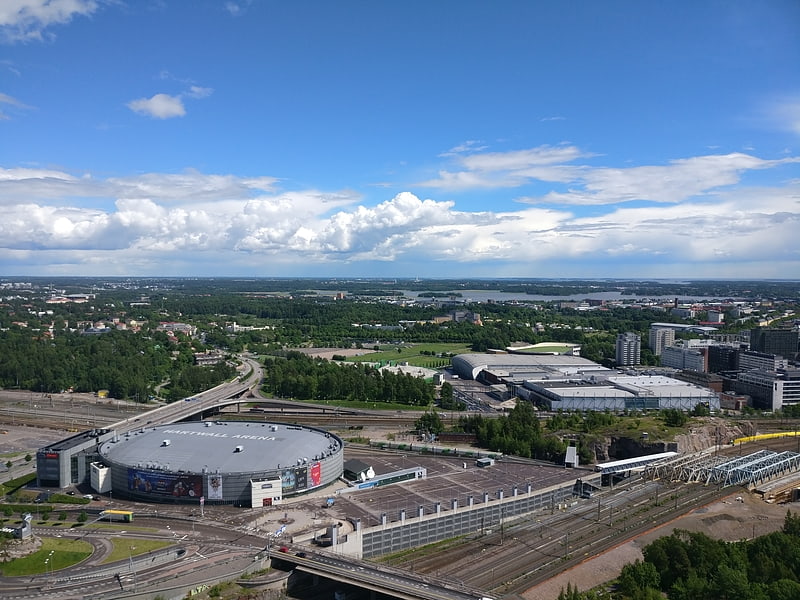
Gallery (2)
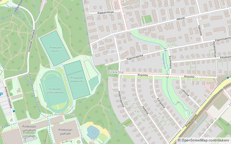
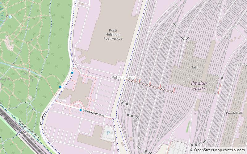
Map
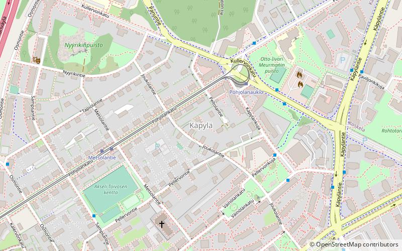
Map
Gallery
Facts and practical information
Local name: Helsingin keskuspuisto Area: 2.7 mi²Elevation: 151 ft a.s.l.Coordinates: 60°13'23"N, 24°55'9"E
Address
Pohjoinen (Maunula)Helsinki
ContactAdd
Social media
Add
Getting there by public transportation
Public transportation stops near this location
- Bus
- Tram
- Train
 Bus
Bus
- Calculate routePostiljooninkatu 10 min walk
- Calculate routeKoivikkotie 11 min walk
- Calculate routeMetsäläntie 11 min walk
- Calculate routeVesakkotie 12 min walk
- Calculate routeHuopalahti 25 min walk
- Calculate routeKäpylä 25 min walk
- Calculate routeIlmala 28 min walk
- Calculate routeKäpylänaukio 28 min walk
- Calculate routeMetsolantie 30 min walk
- Calculate routeKimmontie 32 min walk
- Calculate routeKoskelantie 35 min walk
Day trips


Frequently Asked Questions (FAQ)
Which popular attractions are close to Central Park?
Nearby attractions include Maunulanpuisto, Helsinki (4 min walk), Pohjois-Pasila, Helsinki (18 min walk), Pirkkola, Helsinki (20 min walk).
How to get to Central Park by public transport?
The nearest stations to Central Park:
Bus
Train
Tram
Bus
- Postiljooninkatu • Lines: 56, 63 (10 min walk)
- Koivikkotie • Lines: 63, 67N (11 min walk)
Train
- Huopalahti (25 min walk)
- Käpylä (25 min walk)
Tram
- Käpylänaukio • Lines: 1 (28 min walk)
- Metsolantie • Lines: 1 (30 min walk)