Kyttälä, Tampere
Map
Map

Facts and practical information
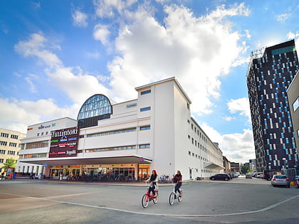
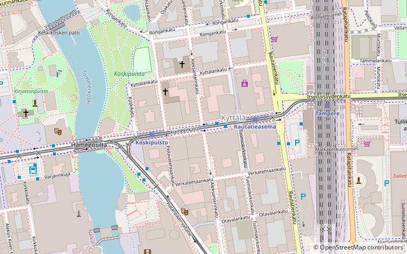
Kyttälä is a district in Tampere, Finland. It was born in the late 1870s as a working-class neighborhood to the eastern outskirts of the town. As Tampere soon expanded, Kyttälä is now a part of the city center between the Tammerkoski river and the railway. Population of Kyttälä is 3,348. Aleksanterinkatu is one of Kyttälä's main streets. The direct connection to the Liisankallio district and from there to Teiskontie and Sammonkatu streets runs along Itsenäisyydenkatu and connection to the Jussinkylä district runs along Tuomiokirkonkatu. ()
Address
Tampere
ContactAdd
Social media
Add
Day trips
Kyttälä – popular in the area (distance from the attraction)
Nearby attractions include: Vapriikki, Tampere Cathedral, Koskikeskus, Old Church.
Frequently Asked Questions (FAQ)
Which popular attractions are close to Kyttälä?
Nearby attractions include Tuomiokirkonkatu, Tampere (2 min walk), Hämeenkatu, Tampere (5 min walk), Hämeensilta, Tampere (5 min walk), Old Church, Tampere (6 min walk).
How to get to Kyttälä by public transport?
The nearest stations to Kyttälä:
Light rail
Train
Bus
Light rail
- Rautatieasema A • Lines: 1, 3 (2 min walk)
- Koskipuisto A • Lines: 1, 3 (3 min walk)
Train
- Tampere (5 min walk)
Bus
- Central Square (7 min walk)
- Tampere, laituri 5 • Lines: Tampere - Helsinki (9 min walk)

