Pakila, Helsinki
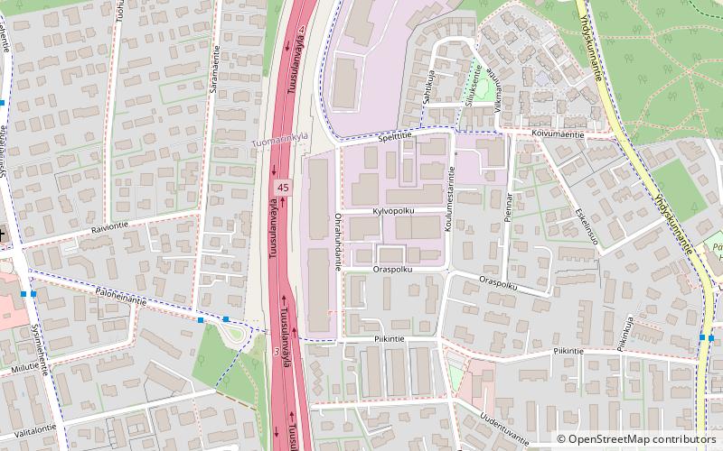
Map
Facts and practical information
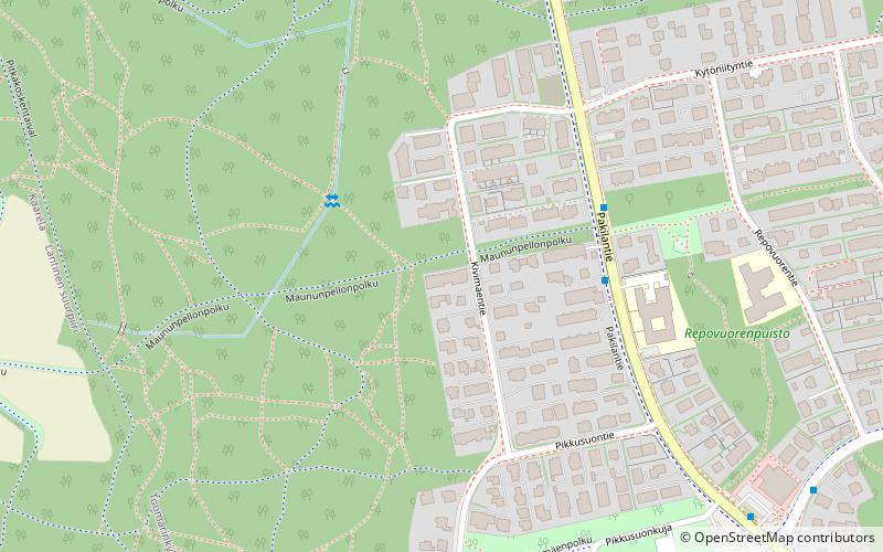
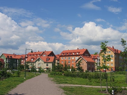
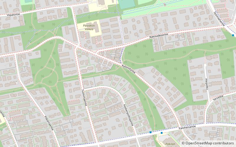
Pakila is a neighbourhood in Northern Helsinki, about nine kilometers from the city center. It comprises Länsi-Pakila and Itä-Pakila. Pakila has approximately 10 275 inhabitants. ()
Address
Pohjoinen (Itä-Pakila)Helsinki
ContactAdd
Social media
Add
Day trips
Pakila – popular in the area (distance from the attraction)
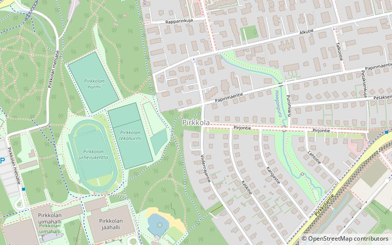
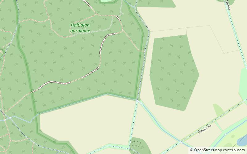
Nearby attractions include: Oulunkylä Ice Rink, Haltiala, Pirkkola, Itä-Pakila.
Frequently Asked Questions (FAQ)
Which popular attractions are close to Pakila?
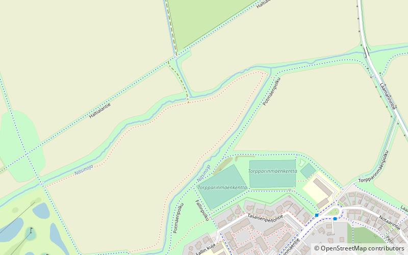
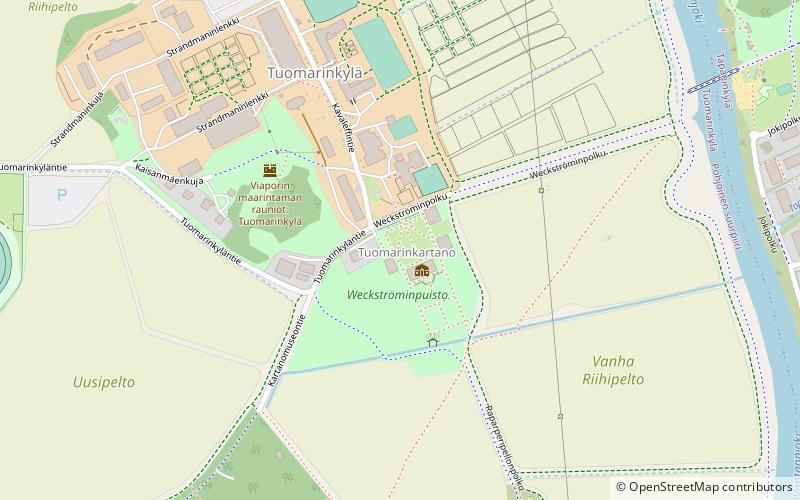
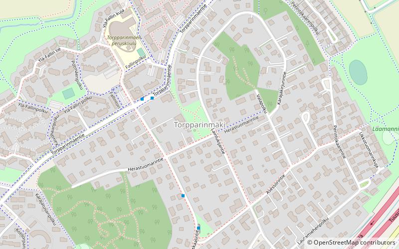
Nearby attractions include Itä-Pakila, Helsinki (12 min walk), Tuomarinkartano, Helsinki (20 min walk), Torpparinmäki, Helsinki (21 min walk).
How to get to Pakila by public transport?
The nearest stations to Pakila:
Bus
Bus
- Saramäentie • Lines: 63 (4 min walk)
- Raiviontie • Lines: 63, 67, 67N (8 min walk)

