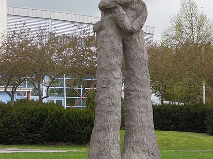
Sopenkorpi, Lahti
Map
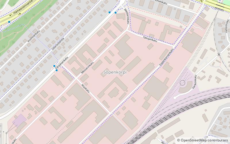
Map

Facts and practical information
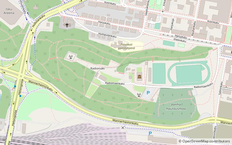
Sopenkorpi is the 26th district of the city of Lahti, in the region of Päijät-Häme, Finland. It borders the districts of Salpausselkä in the north, Kartano in the northeast, Keski-Lahti in the east, Asemantausta in the southeast, Hennala in the south and Kärpänen in the west. ()
Coordinates: 60°58'40"N, 25°37'36"E
Address
Lahti
ContactAdd
Social media
Add
Day trips
Sopenkorpi – popular in the area (distance from the attraction)
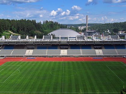
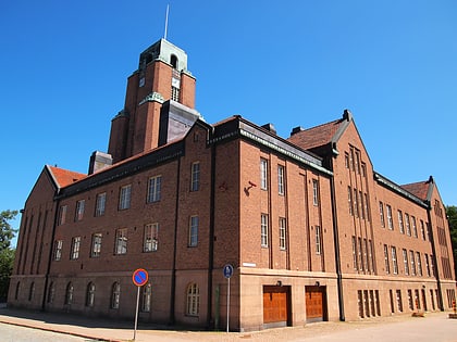
Nearby attractions include: Ski Museum, Lahti Sports Center, Radio and TV Museum, Sibelius Hall.
Frequently Asked Questions (FAQ)
Which popular attractions are close to Sopenkorpi?
Nearby attractions include Mytäjäinen, Lahti (9 min walk), Salpausselkä, Lahti (11 min walk), Ski Museum, Lahti (13 min walk), Hennala, Lahti (14 min walk).
How to get to Sopenkorpi by public transport?
The nearest stations to Sopenkorpi:
Bus
Train
Bus
- Okeroistentie • Lines: 40B, 4B (7 min walk)
- Sopenkorpi • Lines: 40B, 4B, 4C (7 min walk)
Train
- Lahti (27 min walk)


