William K. Kurvi, Helsinki


Facts and practical information
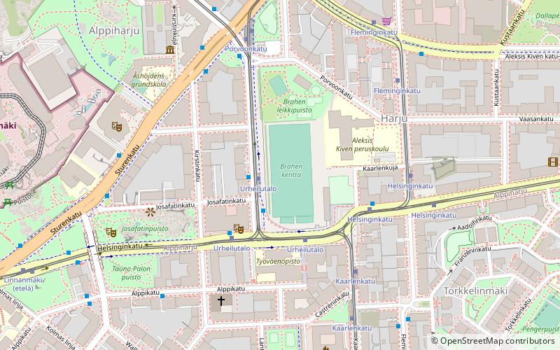
The Sörnäinen curve, also known as Sörkän kurvi or just Kurvi, is an area in the eastern part of the Helsinki city proper in Finland, at the intersection point of the neighbourhoods of Sörnäinen, Kallio and Alppiharju. The area is located around the point where the street Hämeentie curves to the right going north and the street Helsinginkatu branches off it to the west. The curve area covers the whole area on the intersection of Helsinginkatu and Hämeentie. The curve serves as a hub for many public transport connections, including the Sörnäinen metro station. One of the former landmarks of the curve was the building of the insurance company Kansa and the light tower located on top of it. ()
2a HelsinginkatuKeskinen (Kallio)Helsinki
William K. Kurvi – popular in the area (distance from the attraction)
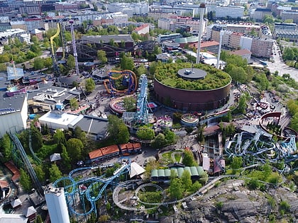
Nearby attractions include: Linnanmäki, Hakaniemi, Kirnu, Vuoristorata.
Frequently Asked Questions (FAQ)
Which popular attractions are close to William K. Kurvi?
How to get to William K. Kurvi by public transport?
Tram
- Sörnäinen • Lines: 1, 6, 6T, 7, 8 (1 min walk)
- Lintulahti • Lines: 6, 6T, 7 (5 min walk)
Bus
- Sörnäinen • Lines: 61, 611, 611B, 615, 616, 617, 61N, 61T, 623, 633, 633N, 64, 643, 65, 66, 67, 67N, 71, 717A, 717N, 722, 724, 73, 731, 731N, 739, 73N, 74, 74N, 75, 77, 77N, 78, 785, 788, 79N (3 min walk)
- Junatie • Lines: 500, 510, 59 (4 min walk)
Metro
- Sörnäinen • Lines: M1, M2 (3 min walk)
- Kalasatama • Lines: M1, M2 (14 min walk)
Ferry
- Hakaniemi • Lines: Itäinen saaristoreitti (18 min walk)
- Korkeasaari • Lines: Kauppatori-Korkeasaari (27 min walk)
Train
- Pasila (32 min walk)
- Helsinki (33 min walk)


