Alppiharju, Helsinki
Map
Facts and practical information
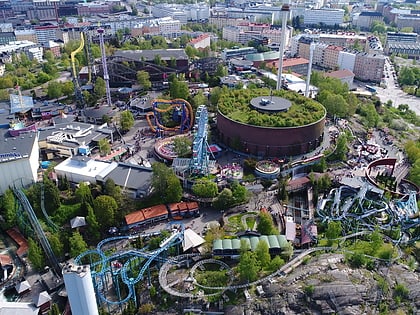
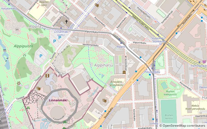
Alppiharju is a district of approximately 12,000 inhabitants in the eastern part of the Central major district of Helsinki, Finland. It consists of sub-districts Alppila and Harju, and is bordered by Kallio in the south, Taka-Töölö in the west, Pasila in the north-west and north, and Vallila in the north-east and east. ()
Address
Keskinen (Alppiharjun)Helsinki
ContactAdd
Social media
Add
Day trips
Alppiharju – popular in the area (distance from the attraction)
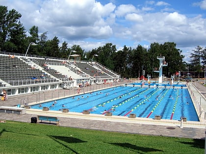
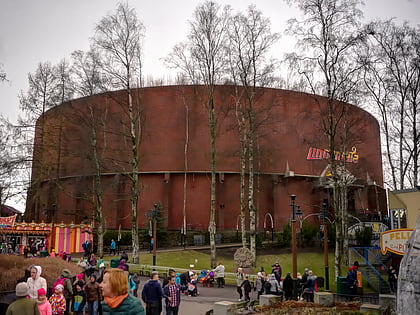
Nearby attractions include: Linnanmäki, Olympiastadion, Kirnu, Vuoristorata.
Frequently Asked Questions (FAQ)
Which popular attractions are close to Alppiharju?
Nearby attractions include Kulttuuritalo, Helsinki (3 min walk), Vuoristorata, Helsinki (3 min walk), Kirnu, Helsinki (5 min walk), Panoraama, Helsinki (5 min walk).
How to get to Alppiharju by public transport?
The nearest stations to Alppiharju:
Tram
Bus
Metro
Train
Ferry
Tram
- Alppila • Lines: 3 (3 min walk)
- Linnanmäki • Lines: 3 (5 min walk)
Bus
- Porvoonkatu • Lines: 23, 70, Helsinki - Jyväskylä - Muurame, Lahti - Helsinki (4 min walk)
- Linnanmäki • Lines: 23 (5 min walk)
Metro
- Sörnäinen • Lines: M1, M2 (15 min walk)
- Hakaniemi • Lines: M1, M2 (17 min walk)
Train
- Pasila (19 min walk)
- Pasila autojuna-asema (29 min walk)
Ferry
- Hakaniemi • Lines: Itäinen saaristoreitti (24 min walk)
