Vanhankaupunginselkä, Helsinki
Map
Gallery
Facts and practical information
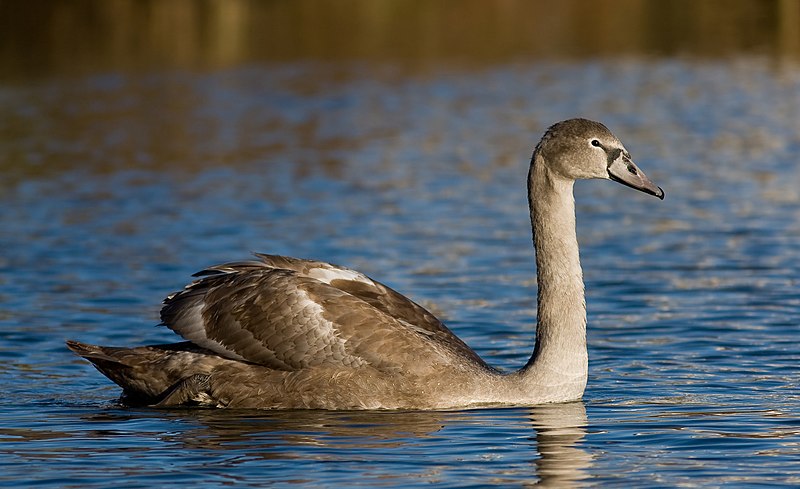
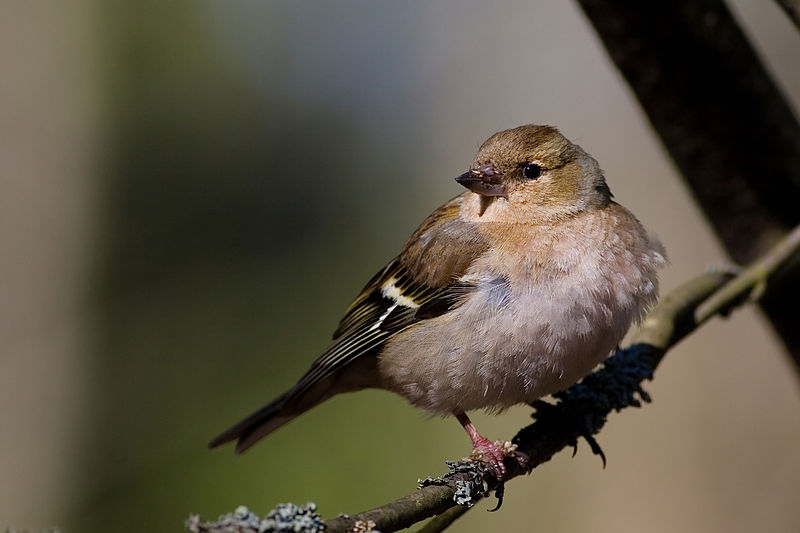
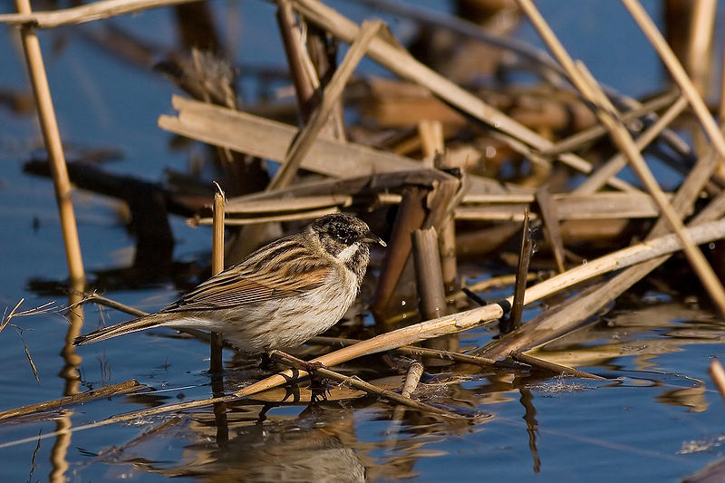
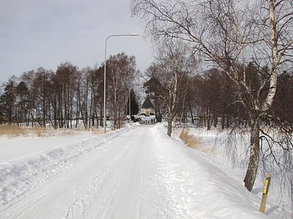
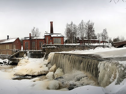
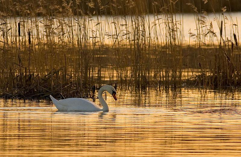
Vanhankaupunginselkä is a bay area which together with parts of adjoining Viikki district constitute a natural conservation zone near downtown Helsinki in the southern part of Finland. The area is listed in Ramsar Convention on Wetlands of International Importance, is part of European Union's Natura 2000 program and is also listed as BirdLife International's Important Bird Area. ()
Address
Helsinki
ContactAdd
Social media
Add
Day trips
Vanhankaupunginselkä – popular in the area (distance from the attraction)
Nearby attractions include: Museum of Technology, Isoisänsilta, Kulosaari Manor, Hertsi.
Frequently Asked Questions (FAQ)
Which popular attractions are close to Vanhankaupunginselkä?
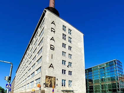
Nearby attractions include Hermanni, Helsinki (15 min walk), Kulosaari Cemetery, Helsinki (16 min walk), Kulosaari Manor, Helsinki (22 min walk), Arabianranta, Helsinki (24 min walk).
How to get to Vanhankaupunginselkä by public transport?
The nearest stations to Vanhankaupunginselkä:
Metro
Bus
Tram
Ferry
Metro
- Kulosaari • Lines: M1, M2 (21 min walk)
- Herttoniemi • Lines: M1, M2 (29 min walk)
Bus
- Rantatöyry • Lines: 81, 86N (22 min walk)
- Tupasaari • Lines: 500, 510, 85N, 87N, 90A, 90N, 92N, 94N, 95N, 96N, 97N (22 min walk)
Tram
- Arabianranta • Lines: 6, 6T, 8 (24 min walk)
- Arabiankatu • Lines: 6, 6T, 8 (26 min walk)
Ferry
- Herttoniemen saaristovenelaituri • Lines: Itäinen saaristoreitti (39 min walk)


