Parc Saint-Clair, Lyon
Map
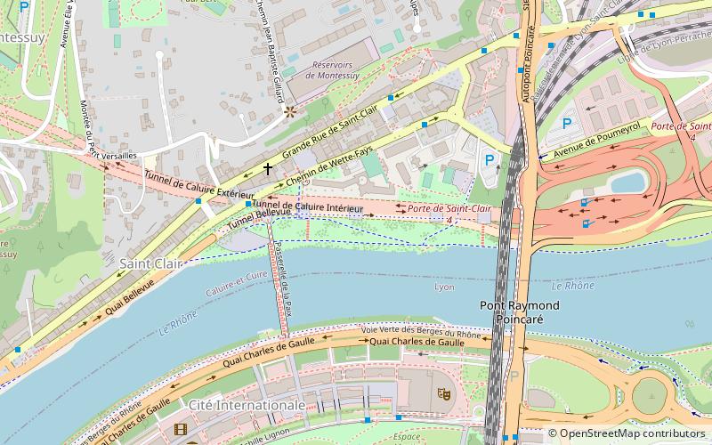
Map

Facts and practical information
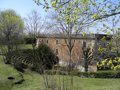
Parc Saint-Clair is a public greenspace in the quarter of Saint-Clair in the commune Caluire-et-Cuire near Lyon. The park has an area of 4 hectares, is bordered by the Rhône to the south and the Boulevard périphérique de Lyon to the north and east. ()
Address
2, Grande Rue Saint Clair, 69300 Caluire-Et-CuireCaluire-et-Cuire (Saint Clair)Lyon 69300
ContactAdd
Social media
Add
Day trips
Parc Saint-Clair – popular in the area (distance from the attraction)
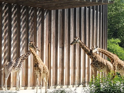
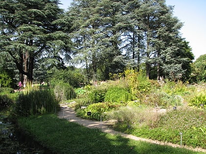
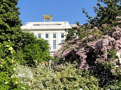
Nearby attractions include: Parc de la Tête d'Or, Lyon Zoo, Jardin botanique de Lyon, Musée d'art contemporain de Lyon.
Frequently Asked Questions (FAQ)
Which popular attractions are close to Parc Saint-Clair?
Nearby attractions include Passerelle de la Paix, Lyon (3 min walk), Cité Internationale, Lyon (7 min walk), Le Transbordeur, Villeurbanne (9 min walk), Musée d'art contemporain de Lyon, Lyon (9 min walk).
How to get to Parc Saint-Clair by public transport?
The nearest stations to Parc Saint-Clair:
Bus
Trolleybus
Tram
Metro
Bus
- Les Eaux • Lines: 9 (4 min walk)
- Petit Versailles • Lines: 9 (4 min walk)
Trolleybus
- Cité Internationale - Centre de Congrès • Lines: C1, C4 (6 min walk)
- Saint-Clair - Square Brosset • Lines: C1, C2 (8 min walk)
Tram
- Université Lyon 1 • Lines: T1, T4 (18 min walk)
- Condorcet • Lines: T1, T4 (22 min walk)
Metro
- Cuire • Lines: C (30 min walk)
- Croix-Rousse • Lines: C (39 min walk)

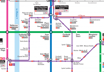 Metro
Metro
