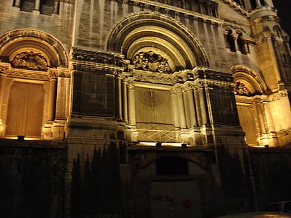
Place Croix-Paquet, Lyon
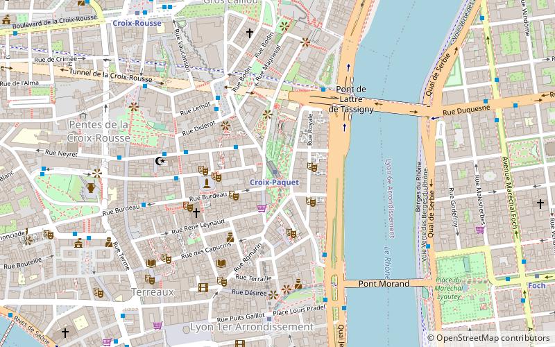
Map
Gallery
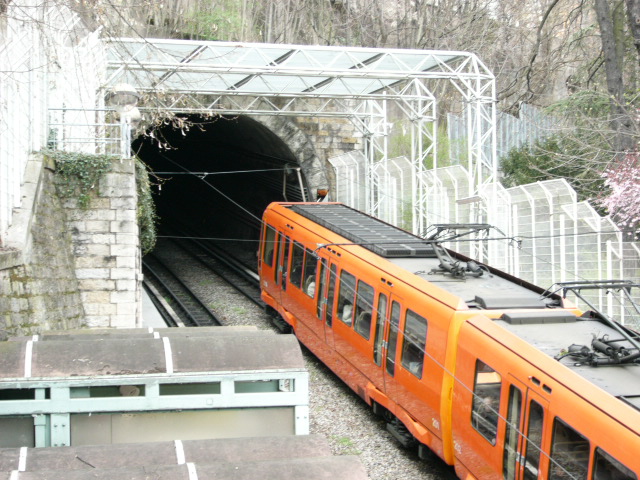
Facts and practical information
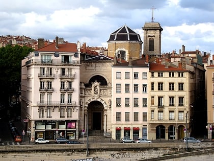
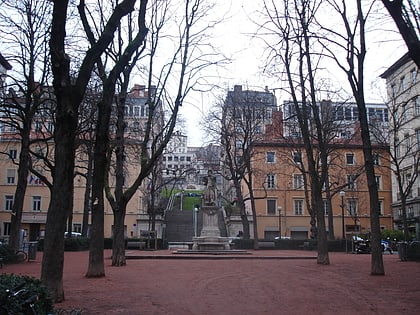
The Place Croix-Paquet is a square located in the 1st arrondissement of Lyon, in the pentes de la Croix-Rousse quarter. It is formed by the intersection of the rue du Griffon, the rue des Capucins and the montée Saint-Sébastien. The square belongs to the zone classified World Heritage Site by UNESCO. ()
Day trips
Place Croix-Paquet – popular in the area (distance from the attraction)
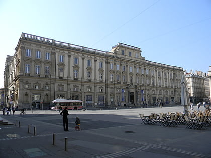
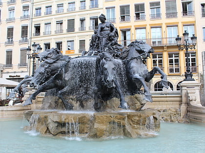
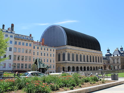
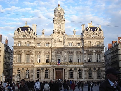
Nearby attractions include: Musée des Beaux-Arts de Lyon, Fontaine Bartholdi, Opéra de Lyon, City Hall.
Frequently Asked Questions (FAQ)
Which popular attractions are close to Place Croix-Paquet?
Nearby attractions include Rue Royale, Lyon (2 min walk), Cour des Voraces, Lyon (3 min walk), Tunnel de la Croix-Rousse, Lyon (3 min walk), Église Saint-Polycarpe, Lyon (4 min walk).
How to get to Place Croix-Paquet by public transport?
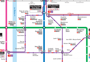
The nearest stations to Place Croix-Paquet:
Metro
Trolleybus
Bus
Ferry
Train
Tram
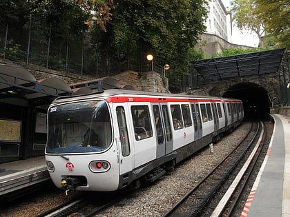
Metro
- Croix-Paquet • Lines: C (1 min walk)
- Hôtel de Ville - Louis Pradel • Lines: A, C (6 min walk)
Trolleybus
- Colbert • Lines: S6 (4 min walk)
- Tables Claudiennes • Lines: S6 (4 min walk)
Bus
- Pont de Lattre - Rive Droite • Lines: C6 (4 min walk)
- Hôtel de Ville - Louis Pradel • Lines: 9, C5 (4 min walk)
Ferry
- Saint-Paul - Hôtel de Ville • Lines: Vaporetto (13 min walk)
- Bellecour • Lines: Vaporetto (22 min walk)
Train
- Lyon-Saint-Paul (15 min walk)
- Fourvière (24 min walk)
Tram
- Saxe-Préfecture • Lines: T1 (23 min walk)
- Liberté • Lines: T1 (23 min walk)
 Metro
Metro