Calais Lighthouse, Calais
Map
Map

Facts and practical information
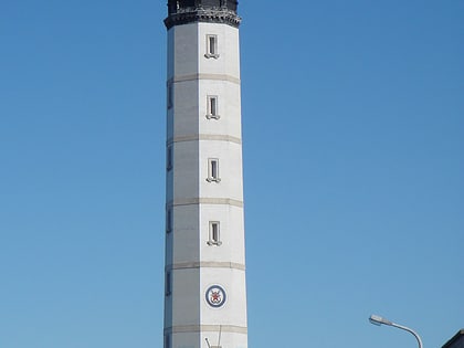
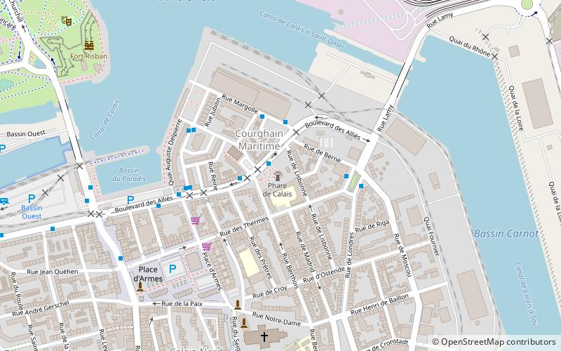
Calais Lighthouse is located in Calais in Pas-de-Calais. The Lighthouse is located in the residential streets near the Port of Calais and is a significant landmark as well as a navigational aid to ships and ferries using the Straits of Dover. ()
Address
Place Henri BarbusseCalais-Nord (Notre-Dame)Calais 62100
Contact
+33 3 21 35 35 67
Social media
Add
Day trips
Calais Lighthouse – popular in the area (distance from the attraction)
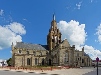
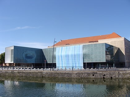
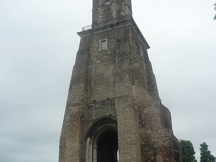
Nearby attractions include: Église Notre-Dame de Calais, Fort Risban, Calais lace museum, Louis XVIII column.
Frequently Asked Questions (FAQ)
When is Calais Lighthouse open?
Calais Lighthouse is open:
- Monday closed
- Tuesday closed
- Wednesday 2 pm - 5:30 pm
- Thursday closed
- Friday closed
- Saturday 2 pm - 5:30 pm
- Sunday 2 pm - 5:30 pm
Which popular attractions are close to Calais Lighthouse?
Nearby attractions include Louis XVIII column, Calais (4 min walk), Église Notre-Dame de Calais, Calais (6 min walk), Tour du Guet, Calais (7 min walk), Fort Risban, Calais (9 min walk).
How to get to Calais Lighthouse by public transport?
The nearest stations to Calais Lighthouse:
Bus
Ferry
Train
Bus
- Phare • Lines: 3 (1 min walk)
- Place de l'Europe • Lines: Balad'in (2 min walk)
Ferry
- Calais 7 • Lines: Dover - Calais, Dover/Douvres - Calais (11 min walk)
- Calais 5 • Lines: Dover - Calais (11 min walk)
Train
- Calais-Ville (15 min walk)
