Canal de Calais, Calais
Map
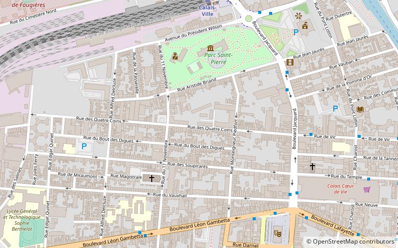
Map

Facts and practical information
The Canal de Calais connects the Aa River near Ruminghem to the inner basins of the Port of Calais. Many boats enter the French canal system through the port of Calais and this canal. It is 30 km long and has 3 locks. ()
Address
Hôtel de Ville LafayetteCalais
ContactAdd
Social media
Add
Day trips
Canal de Calais – popular in the area (distance from the attraction)
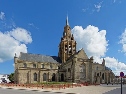
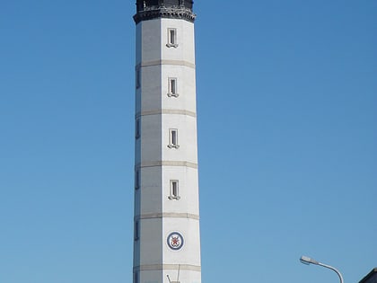
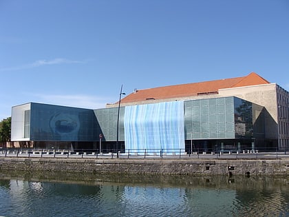
Nearby attractions include: Église Notre-Dame de Calais, Calais Lighthouse, Fort Risban, Calais lace museum.
Frequently Asked Questions (FAQ)
Which popular attractions are close to Canal de Calais?
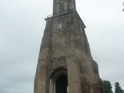
Nearby attractions include Beffroi de l'hôtel de ville, Calais (7 min walk), Calais lace museum, Calais (11 min walk), Église Notre-Dame de Calais, Calais (15 min walk), Tour du Guet, Calais (16 min walk).
How to get to Canal de Calais by public transport?
The nearest stations to Canal de Calais:
Bus
Train
Ferry
Bus
- Alhambra • Lines: 2, 3, 4, 5, 8, Balad'in, Div'in (5 min walk)
- Théâtre • Lines: 1, 13, 1A, 1B, 426, 427 (6 min walk)
Train
- Calais-Ville (6 min walk)
- Les Fontinettes (17 min walk)
Ferry
- George V • Lines: Majest'in (9 min walk)
- Meuse • Lines: Majest'in (11 min walk)

