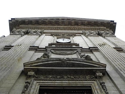
Traboule, Lyon
Map
Gallery

Facts and practical information
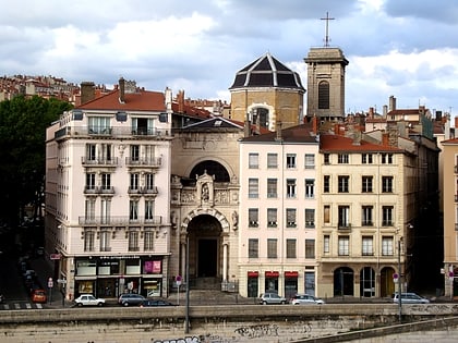
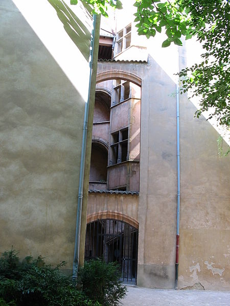
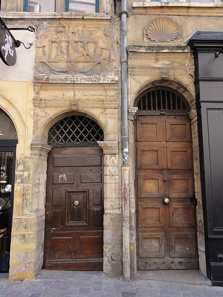
Traboules are a type of secret covered passageways primarily associated with the city of Lyon, France, but also located in the French cities of Villefranche-sur-Saône, Mâcon, Saint-Étienne, along with a few in Chambéry). In Lyon, they were originally used by silk manufacturers and other merchants to transport their products. ()
Day trips
Traboule – popular in the area (distance from the attraction)
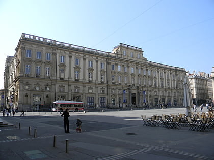
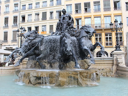
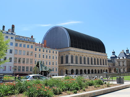
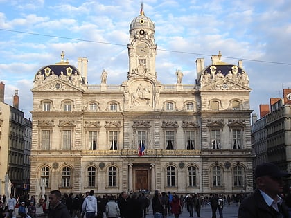
Nearby attractions include: Musée des Beaux-Arts de Lyon, Fontaine Bartholdi, Opéra de Lyon, City Hall.
Frequently Asked Questions (FAQ)
Which popular attractions are close to Traboule?
Nearby attractions include Église Saint-Polycarpe, Lyon (1 min walk), Passage Thiaffait, Lyon (2 min walk), Rue des Capucins, Lyon (3 min walk), Place Croix-Paquet, Lyon (3 min walk).
How to get to Traboule by public transport?
The nearest stations to Traboule:
Trolleybus
Bus
Metro
Ferry
Train
Tram
Trolleybus
- Tables Claudiennes • Lines: S6 (2 min walk)
- Colbert • Lines: S6 (4 min walk)
Bus
- Tables Claudiennes • Lines: S12 (2 min walk)
- Pouteau • Lines: S12 (3 min walk)
Metro
- Croix-Paquet • Lines: C (3 min walk)
- Hôtel de Ville - Louis Pradel • Lines: A, C (6 min walk)
Ferry
- Saint-Paul - Hôtel de Ville • Lines: Vaporetto (10 min walk)
- Bellecour • Lines: Vaporetto (20 min walk)
Train
- Lyon-Saint-Paul (12 min walk)
- Fourvière (22 min walk)
Tram
- Saxe-Préfecture • Lines: T1 (23 min walk)
- Liberté • Lines: T1 (23 min walk)




 Metro
Metro