Mandallaz Mountain, Annecy
Map

Map

Facts and practical information
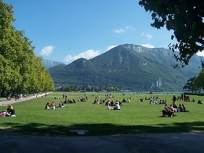
Geographically, the Mandallaz mountain is a small pre-Alpine massif 8 kilometres long by 3–4 km wide, between 500 metres and 929 metres high, north-west of Annecy in the Haute-Savoie department in the Rhône-Alpes region in south-eastern France. The Mandallaz has a mirror break, which provoked an earthquake in 1996. ()
Address
Annecy
ContactAdd
Social media
Add
Day trips
Mandallaz Mountain – popular in the area (distance from the attraction)
Nearby attractions include: St. Maurice Church, Château d'Annecy, Annecy Cathedral, Palais de l'Isle.
Frequently Asked Questions (FAQ)
Which popular attractions are close to Mandallaz Mountain?
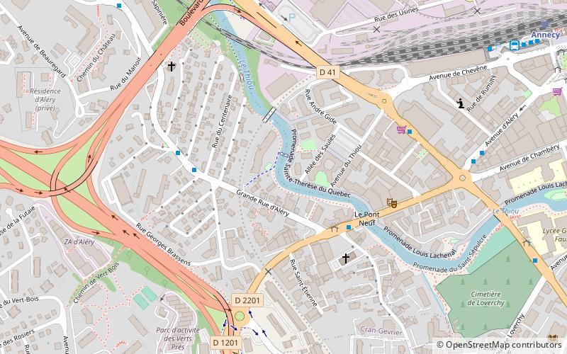
Nearby attractions include Cran-Gevrier, Annecy (14 min walk), Place Sainte Claire, Annecy (14 min walk), Annecy Cathedral, Annecy (16 min walk), Le Pont Morens, Annecy (16 min walk).
How to get to Mandallaz Mountain by public transport?
The nearest stations to Mandallaz Mountain:
Bus
Train
Bus
- Pont Neuf • Lines: 2, 3, i, J (4 min walk)
- Panorama • Lines: 3, i (4 min walk)
Train
- Annecy (12 min walk)


