Château de Rochefort, Rochefort-en-Terre

Gallery (1)
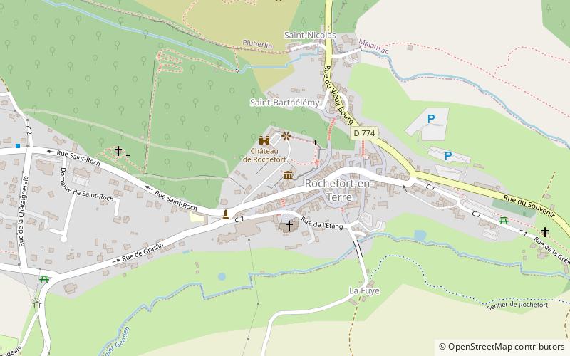
Map
Map
Facts and practical information
The castle of Rochefort-en-Terre is a castle built in the early 12th century in the commune of Rochefort-en-Terre.
Coordinates: 47°41'57"N, 2°20'20"W
Address
Rochefort-en-Terre
ContactAdd
Social media
Add
Day trips


Frequently Asked Questions (FAQ)
Which popular attractions are close to Château de Rochefort?
Nearby attractions include Église Notre-Dame-de-la-Tronchaye, Rochefort-en-Terre (2 min walk), Pont de l'Étang, Rochefort-en-Terre (4 min walk).