Pont de l'Étang, Rochefort-en-Terre

Gallery (1)
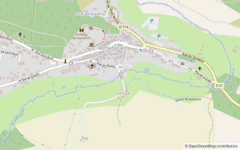
Map
Map
Facts and practical information
Pont de l'Étang is a place located in Rochefort-en-Terre (Brittany region) and belongs to the category of bridge.
It is situated at an altitude of 121 feet, and its geographical coordinates are 47°41'52"N latitude and 2°20'12"W longitude.
Among other places and attractions worth visiting in the area are: Église Notre-Dame-de-la-Tronchaye (sacred and religious sites, 3 min walk), Château de Rochefort (museum, 4 min walk), Pluherlin (locality, 37 min walk).
Coordinates: 47°41'52"N, 2°20'12"W
Address
Rochefort-en-Terre
ContactAdd
Social media
Add
Day trips


Frequently Asked Questions (FAQ)
Which popular attractions are close to Pont de l'Étang?
Nearby attractions include Église Notre-Dame-de-la-Tronchaye, Rochefort-en-Terre (3 min walk), Château de Rochefort, Rochefort-en-Terre (4 min walk).