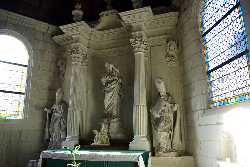
Chapelle des Minimes, Tours

Gallery (3)
Map
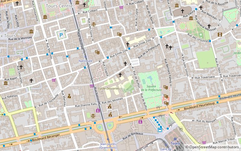
Map
Gallery
Facts and practical information
The church of Saint-Grégoire des Minimes is located in Tours, rue de la Préfecture, next to the Lycée Descartes, the former major seminary of Saint Charles de Tours until the revolution. It was, originally, the conventual church of the convent of the Minimes brothers. In it is practiced the Tridentine rite.
Coordinates: 47°23'33"N, 0°41'24"E
Address
CentreTours
ContactAdd
Social media
Add
Getting there by public transportation
Public transportation stops near this location
- Bus
- Tram
- Train
 Bus
Bus
- Calculate routeZola 2 min walk
- Calculate routeSainte-Ursule 4 min walk
- Calculate routeNationale 4 min walk
- Calculate routeGrand Théatre 5 min walk
- Calculate routeNationale 4 min walk
- Calculate routeJean Jaurès 6 min walk
- Calculate routeGare de Tours 8 min walk
- Calculate routePorte de Loire 8 min walk
- Calculate routeTours 8 min walk
Day trips
Chapelle des Minimes – popular in the area (distance from the attraction)
Nearby attractions include: Tours Cathedral, Château de Tours, Hôtel Goüin, Museum of Fine Arts.


Frequently Asked Questions (FAQ)
Which popular attractions are close to Chapelle des Minimes?
Nearby attractions include Rue Nationale, Tours (5 min walk), Fritz l'éléphant, Tours (7 min walk), St. Julian's Church, Tours (7 min walk), Museum of Fine Arts, Tours (8 min walk).
How to get to Chapelle des Minimes by public transport?
The nearest stations to Chapelle des Minimes:
Bus
Tram
Train
Bus
- Zola • Lines: C (2 min walk)
- Sainte-Ursule • Lines: C (4 min walk)
Tram
- Nationale • Lines: A (4 min walk)
- Jean Jaurès • Lines: A (6 min walk)
Train
- Tours (8 min walk)