Château de La Motte, Lyon
Map
Map

Facts and practical information
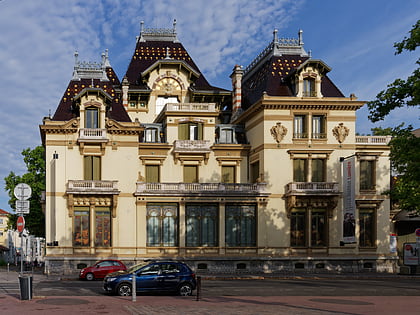
Château de La Motte is a French castle that is also known as The castle of La Motte or just La Mothe. It is located in the 7th arrondissement of Lyon, on the left bank of the Rhône. It stands near the junction of two ancient roads of eastern and southern Lyon, on the border between the Dauphiné and Lyonnais. It occupies a small hill created in Gallo-Roman times for flood protection and because of good visibility. ()
Address
Arrondissement 7E (Stalingrad - Lamothe)Lyon
ContactAdd
Social media
Add
Day trips
Château de La Motte – popular in the area (distance from the attraction)
Nearby attractions include: Institut Lumière, Berges du Rhône, Bourse du Travail, Auditorium Maurice-Ravel.
Frequently Asked Questions (FAQ)
Which popular attractions are close to Château de La Motte?
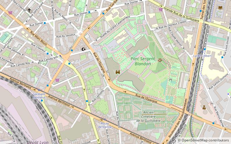
Nearby attractions include Parc Blandan, Lyon (3 min walk), Avenue Berthelot, Lyon (7 min walk), Guillotière Cemetery, Lyon (9 min walk), Place Jean-Macé, Lyon (12 min walk).
How to get to Château de La Motte by public transport?
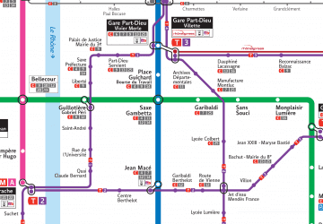
The nearest stations to Château de La Motte:
Tram
Bus
Metro
Trolleybus
Train
Ferry
Tram
- Route de Vienne • Lines: T2 (5 min walk)
- Garibaldi Berthelot • Lines: T2 (8 min walk)
Bus
- Lamothe - Madeleine • Lines: 35 (7 min walk)
- Garibaldi - Berthelot • Lines: 35, C12 (7 min walk)
Metro
- Garibaldi • Lines: D (13 min walk)
- Jean Macé • Lines: B (13 min walk)
Trolleybus
- Université - Jean Jaurès • Lines: C14, C4 (13 min walk)
- Jean Macé • Lines: C14, C4 (13 min walk)
Train
- Lyon Jean Macé (14 min walk)
- Lyon Part-Dieu (30 min walk)
Ferry
- Bellecour • Lines: Vaporetto (39 min walk)

 Metro
Metro