Fort Montluc, Lyon
Map
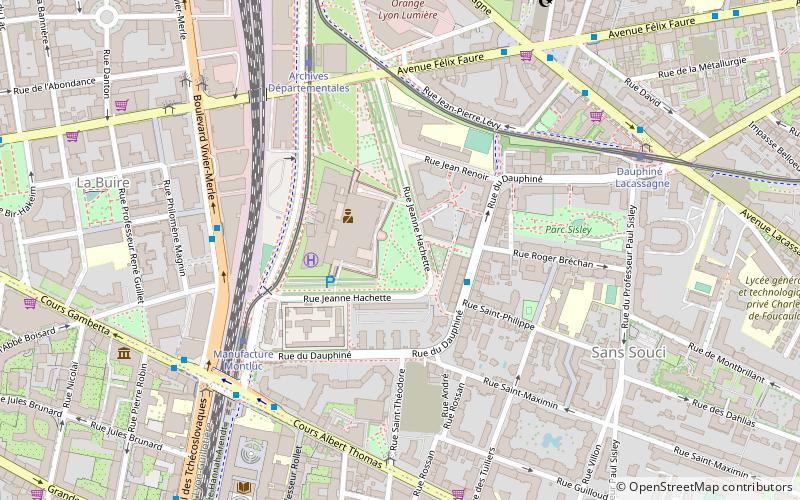
Map

Facts and practical information
Fort Montluc, also known as Fort de Villeurbanne, is a fort located in the 3rd arrondissement of Lyon. The fort was built in 1831 as part of the Ceintures de Lyon, which were a series of fortifications surrounding Lyon. It is currently used as a metropolitan police station. ()
Alternative names: Completed: 1835 (191 years ago)Elevation: 568 ft a.s.l.Coordinates: 45°45'5"N, 4°51'49"E
Address
5 rue Général Mouton-DuvernetArrondissement 3E (Arrondissement 3E Grand Quartier Nø 06)Lyon
ContactAdd
Social media
Add
Day trips
Fort Montluc – popular in the area (distance from the attraction)
Nearby attractions include: Lyon Part-Dieu, Institut Lumière, Les Halles de Lyon Paul Bocuse, Bourse du Travail.
Frequently Asked Questions (FAQ)
Which popular attractions are close to Fort Montluc?
Nearby attractions include Montluc prison, Lyon (4 min walk), Musée Africain, Lyon (8 min walk), Church of the Sacred Heart, Lyon (13 min walk), Institut Lumière, Lyon (15 min walk).
How to get to Fort Montluc by public transport?
The nearest stations to Fort Montluc:
Trolleybus
Tram
Bus
Metro
Train
Trolleybus
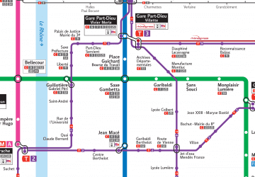
- Archives Départementales • Lines: C11 (5 min walk)
- Rouget de l'Isle • Lines: C11, C13 (7 min walk)
Tram
- Manufacture Montluc • Lines: T4 (5 min walk)
- Archives Départementales • Lines: T4 (6 min walk)
Bus
- Sans Souci • Lines: 69 (6 min walk)
- Manufacture Montluc • Lines: 69, C25, C7, T36 (6 min walk)
Metro
- Sans Souci • Lines: D (8 min walk)
- Garibaldi • Lines: D (13 min walk)
Train
- Lyon Part-Dieu (17 min walk)
- Lyon Jean Macé (30 min walk)

 Metro
Metro
