Aqueduc des Arcades, Perpignan
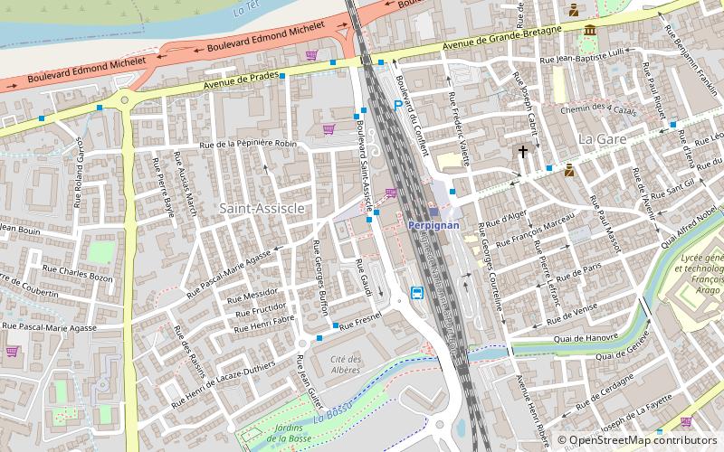
Map
Map

Facts and practical information
The Arcades aqueduct is a bridge-aqueduct located in the city of Perpignan in the Pyrénées-Orientales.
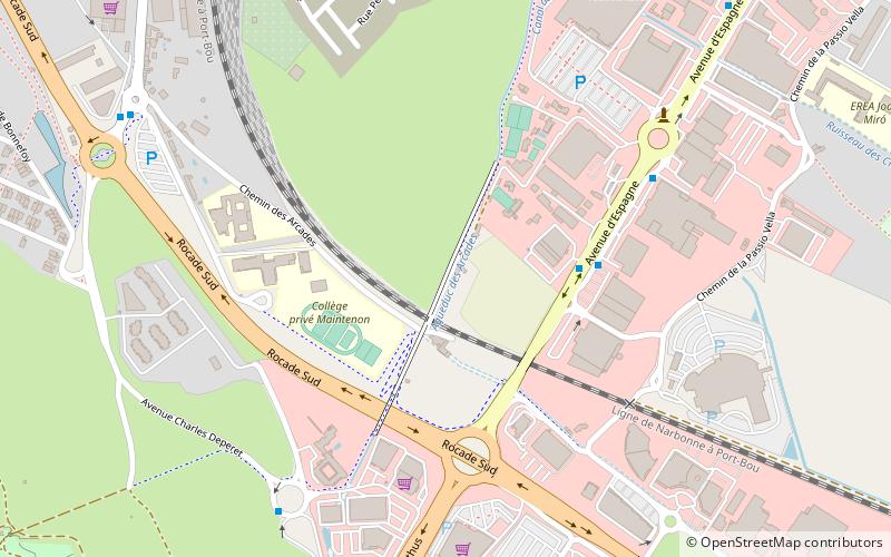
It is about 300m long, 4.60m wide and 13m high. It is composed of 21 arches and has a north-east / south-west orientation. The tenth arch is wider than the others, in order to let pass a road of the XVIIIth century, today replaced by a railway line. This aqueduct is considered the most important hydraulic work of art in the Roussillon region in the Middle Ages.
Coordinates: 42°40'35"N, 2°53'15"E
Address
Saint-Martin (Saint-Martin 4)Perpignan
ContactAdd
Social media
Add
Day trips
Aqueduc des Arcades – popular in the area (distance from the attraction)
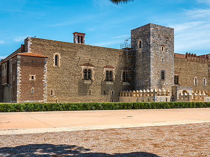
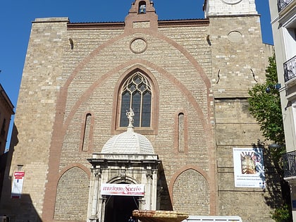
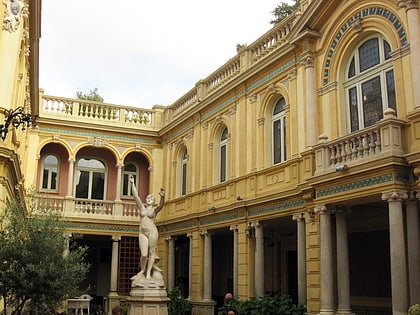
Nearby attractions include: Palais des Rois de Majorque, Perpignan Cathedral, Perpignan Méditerranée Métropole, Hôtel Pams.
Frequently Asked Questions (FAQ)
How to get to Aqueduc des Arcades by public transport?
The nearest stations to Aqueduc des Arcades:
Bus
Bus
- Cassin • Lines: C (13 min walk)
- Aviateurs • Lines: C (15 min walk)

