Perpignan Méditerranée Métropole, Perpignan
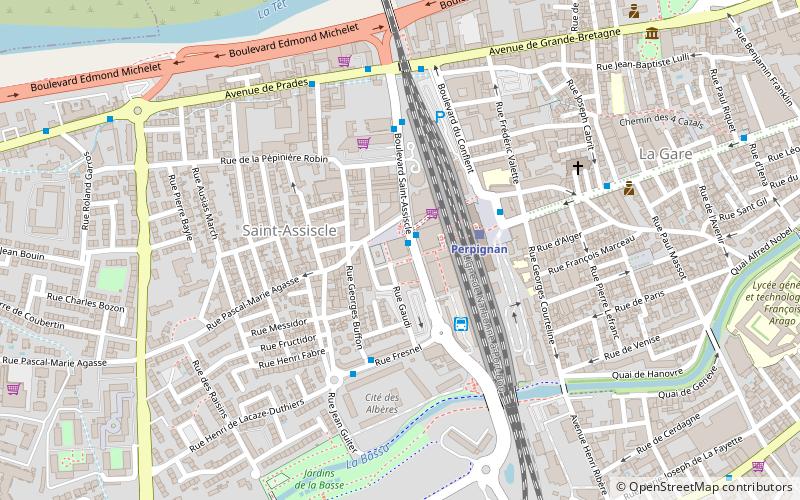
Map
Facts and practical information
The Communauté urbaine Perpignan Méditerranée Métropole is the communauté urbaine, an intercommunal structure, centred on the city of Perpignan. It is located in the Pyrénées-Orientales department, in the Occitanie region, southern France. It was created in January 2016, replacing the previous communauté d'agglomération Perpignan Méditerranée. Its area is 616.7 km2. Its population was 268,445 in 2018, of which 119,188 in Perpignan proper. ()
Local name: Communauté urbaine Perpignan Méditerranée Métropole Area: 253.28 mi²Coordinates: 42°41'46"N, 2°52'41"E
Address
11 Boulevard Saint-AssiscleSaint-Assiscle (Saint-Assiscle 1)Perpignan
Contact
Social media
Add
Day trips
Perpignan Méditerranée Métropole – popular in the area (distance from the attraction)
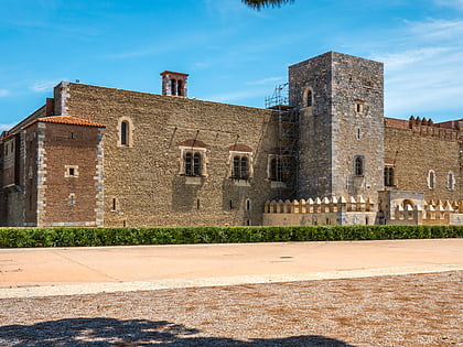
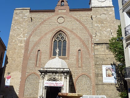
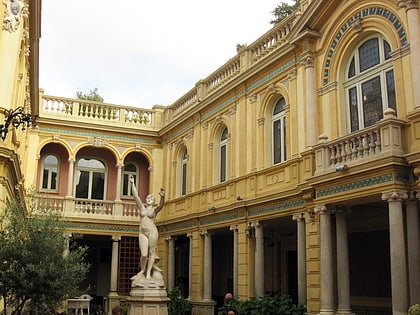
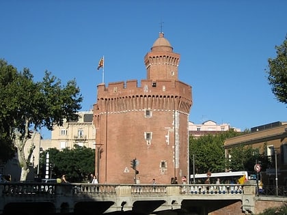
Nearby attractions include: Palais des Rois de Majorque, Perpignan Cathedral, Hôtel Pams, Le Castillet.
Frequently Asked Questions (FAQ)
Which popular attractions are close to Perpignan Méditerranée Métropole?
Nearby attractions include Chapelle Notre-Dame-des-Anges, Perpignan (17 min walk), Palais des Rois de Majorque, Perpignan (21 min walk), Rue Adjudant-Pilote Paratilla, Perpignan (22 min walk), La Méditerranéenne ou La pensée, Perpignan (23 min walk).
How to get to Perpignan Méditerranée Métropole by public transport?
The nearest stations to Perpignan Méditerranée Métropole:
Bus
Train
Bus
- Gare TGV • Lines: 3, B, C (1 min walk)
- Gare Routière Départementale • Lines: 1721, 503, 510, 512, 520, 570, 721, 788, Ligne 540, N1135, N1720, N707, N740, N758, N781, N788 (3 min walk)
Train
- Perpignan (3 min walk)
