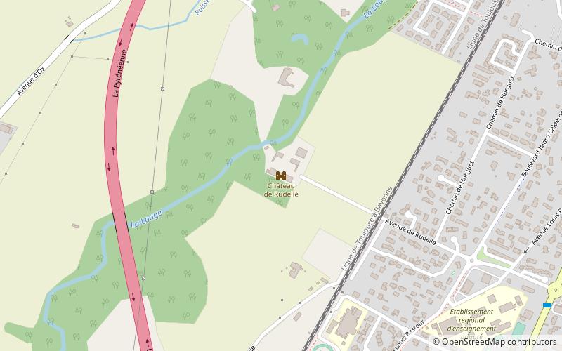
Château de Rudelle, Muret

Map
Facts and practical information
The Château de Rudelle is a 16th and 17th century castle in the commune of Muret in the Haute-Garonne département of France. ()
Coordinates: 43°27'6"N, 1°18'38"E
Address
130 Rue de GaginMuret
ContactAdd
Social media
Add
Day trips
Château de Rudelle – popular in the area (distance from the attraction)
Nearby attractions include: Rue des Lavandières, Portet-sur-Garonne, Roques, Eaunes.


