Trek Zone

Rue des Lavandières, Villeneuve-Tolosane

#1 among attractions in Villeneuve-Tolosane

Bridge
Rue des Lavandières

Facts and practical information

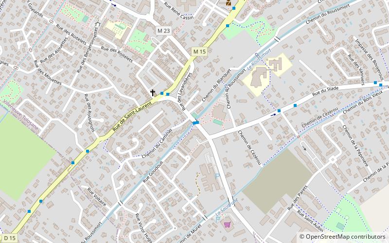
Rue des Lavandières (address: 9 ter rue des lavandières) is a place located in Villeneuve-Tolosane (Occitanie region) and belongs to the category of bridge.

It is situated at an altitude of 525 feet, and its geographical coordinates are 43°31'18"N latitude and 1°20'34"E longitude.

Among other places and attractions worth visiting in the area are: Frouzins (locality, 27 min walk), Cugnaux (locality, 30 min walk), Roques (locality, 39 min walk).

Coordinates: 43°31'18"N, 1°20'34"E
Address

9 ter rue des lavandièresVilleneuve-Tolosane France

ContactAdd
Social media
Add

Villeneuve-Tolosane plan & book

Unleash the traveler in you — discover the cheapest flight deals, find the perfect hotel or hostel nearby, and search for the best car rental prices. Travel at your own pace to discover new places and enjoy your journey.

Day trips

Rue des Lavandières – popular in the area (distance from the attraction)

Nearby attractions include: Stadium Municipal, Château de Rudelle, Tournefeuille, Vieille-Toulouse.

  • stadium municipal toulouse6.2 miNE
  • chateau de rudelle muret location map
    5.1 miS
  • tournefeuille toulouse4.3 miN
  • vieille toulouse5.2 miE
  • base de loisirs de la ramee toulouse3.4 miN
  • chateau de la reynerie toulouse4.5 miNE
  • monkey park plaisance plaisance du touch5.6 miNW
  • chateau du mirail toulouse4.7 miNE
  • chateau de sauveterre aureville6.1 miSE
  • war memorial fonsorbes5.7 miW
  • prairie des filtres toulouse6.9 miNE

Where to next? Visit occitanie Occitanie region page or discover the top tourist attractions in France.