Parc Bordelais, Bordeaux
Map
Gallery
Facts and practical information
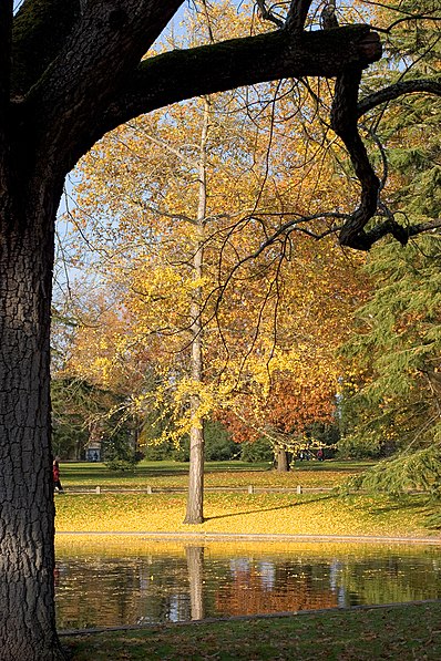
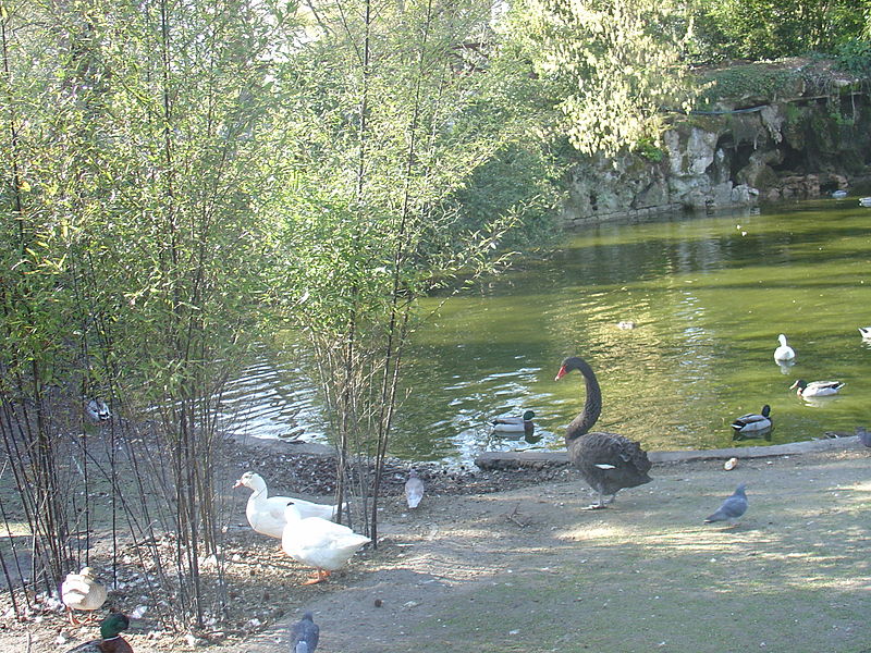
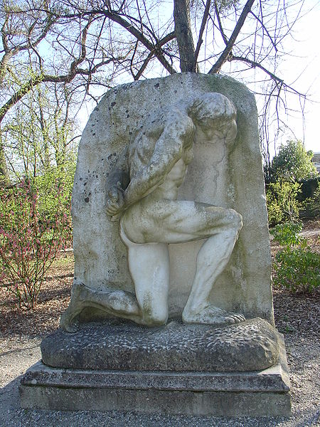
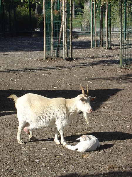
The Parc bordelais is the largest urban green space in the center of Bordeaux. It is located in the district of Caudéran. It is accessible by tramway with line D, Courbet station.
Elevation: 52 ft a.s.l.Coordinates: 44°51'9"N, 0°35'57"W
Day trips
Parc Bordelais – popular in the area (distance from the attraction)
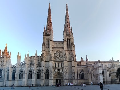
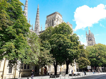
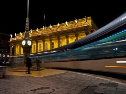
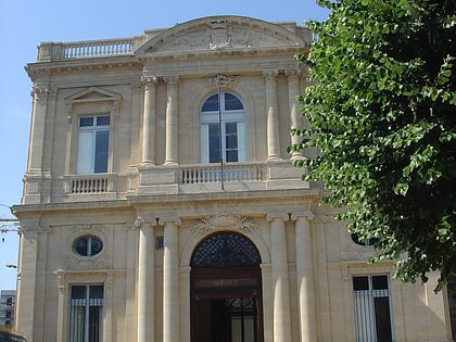
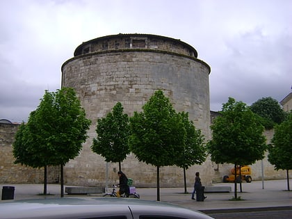
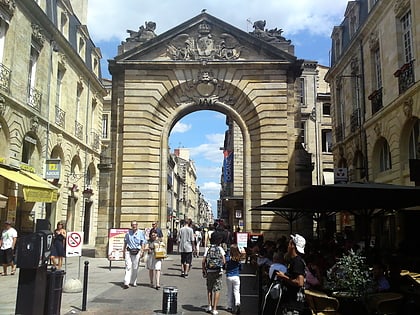
Nearby attractions include: Bordeaux Cathedral, Tour Pey Berland, Grand Théâtre, Musée des Beaux-Arts de Bordeaux.
Frequently Asked Questions (FAQ)
How to get to Parc Bordelais by public transport?
The nearest stations to Parc Bordelais:
Bus
Tram
Bus
- Carnot • Lines: 29, 5, 9 (6 min walk)
- Barrière du Médoc • Lines: 29, 9 (6 min walk)
Tram
- Courbet • Lines: D (8 min walk)
- Barrière du Médoc • Lines: D (8 min walk)


