Le Linleu

Gallery (1)
Map
Map
Facts and practical information
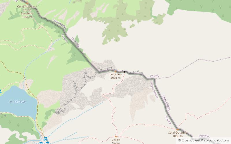
Le Linleu is a mountain in the Chablais Alps on the Swiss-French border. Towards the Swiss side, it displays a towering wall of several hundred meters, but it is easily accessible from the French side via a marked hiking path. It offers a beautiful circular panorama featuring the Diablerets, Dents du Midi and Cornettes de Bise. ()
Elevation: 6867 ftProminence: 915 ftCoordinates: 46°18'57"N, 6°49'1"E
Location
Auvergne-Rhône-Alpes
ContactAdd
Social media
Add
Day trips