Palais Saint-Melaine, Rennes
Map
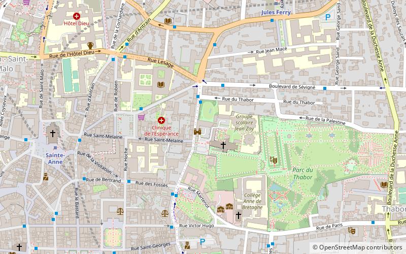
Map

Facts and practical information
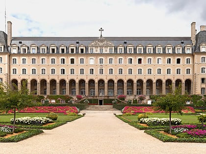
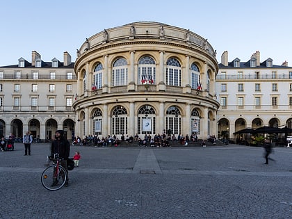
The Saint-Melaine palace, former seat of the Archbishopric of Rennes, is a palace located in Place Saint-Melaine in Rennes, on the western edge of the Thabor park.
Coordinates: 48°6'55"N, 1°40'26"W
Address
Thabor - Saint Hélier - Alphones Guenn (Jean Macé)Rennes
ContactAdd
Social media
Add
Day trips
Palais Saint-Melaine – popular in the area (distance from the attraction)
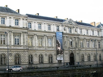
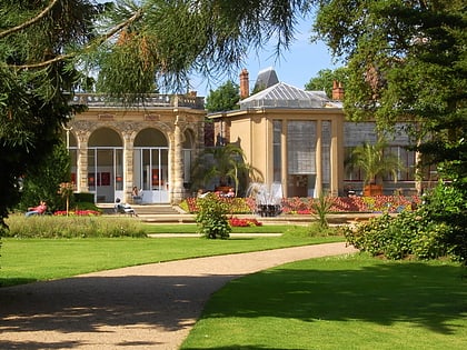
Nearby attractions include: Museum of Fine Arts of Rennes, Rennes Cathedral, Parc du Thabor, Palais Saint-Georges.
Frequently Asked Questions (FAQ)
Which popular attractions are close to Palais Saint-Melaine?
Nearby attractions include Palais Saint-Georges, Rennes (5 min walk), Parc du Thabor, Rennes (6 min walk), Square de la Motte, Rennes (6 min walk), Église Saint-Aubin en Notre-Dame-de-Bonne-Nouvelle, Rennes (8 min walk).
How to get to Palais Saint-Melaine by public transport?
The nearest stations to Palais Saint-Melaine:
Bus
Metro
Train
Bus
- Sévigné • Lines: 31, 9, C1, C5, N2, Ttz (3 min walk)
- Place Hoche • Lines: 151ex, 36, 51, 70, 71 (4 min walk)
Metro
- Sainte-Anne • Lines: a (8 min walk)
- République • Lines: a (12 min walk)
Train
- Pontchaillou (21 min walk)
- Rennes (21 min walk)

