Cime de Caron, Val Thorens

Gallery (1)
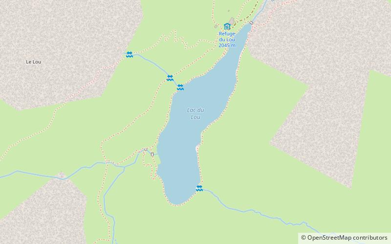
Map
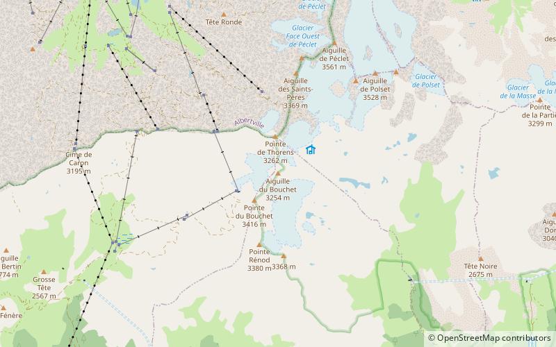
Map
Facts and practical information
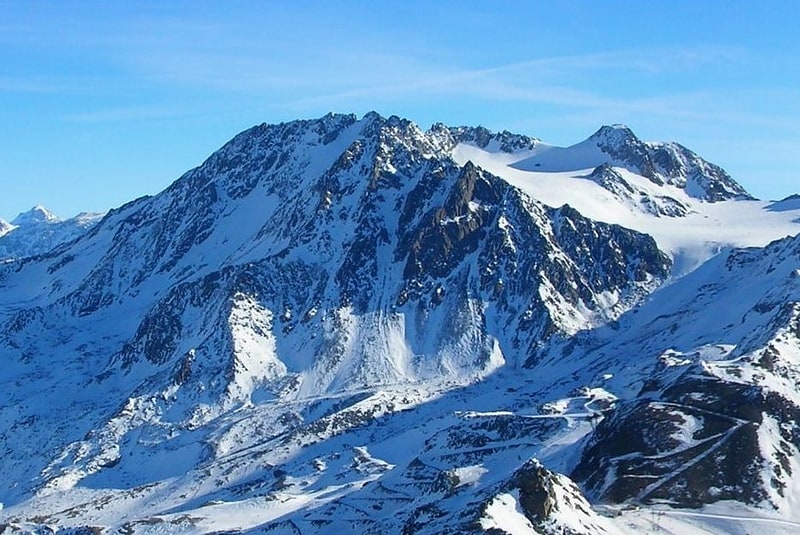
Cime de Caron is a mountain of Savoie, France. It lies in the Massif de la Vanoise range. It has an elevation of 3,195 metres above sea level. It is a mountain in the Three Valleys a popular ski resort, in the valley of Les Belleville, in the resort of Val Thorens. It has four ski slopes: three black, and one red. One of the blacks goes into the secret fourth valley, in the three valleys, Orelle. Cime de Caron is the second-highest skiing point in the Three Valleys. ()
Address
Val Thorens
ContactAdd
Social media
Add
Day trips