Mont Brequin

Gallery (1)
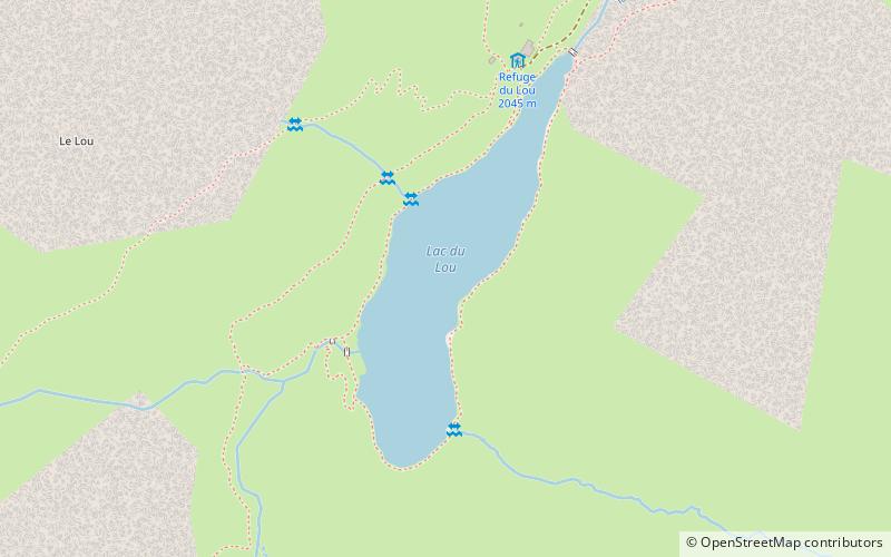
Map
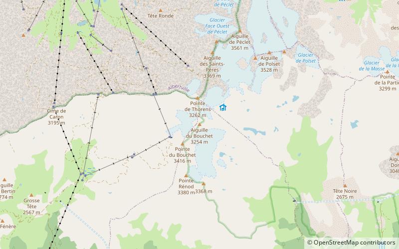
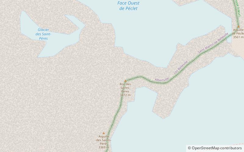
Map
Facts and practical information
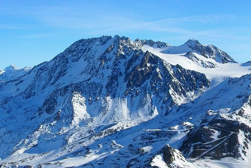
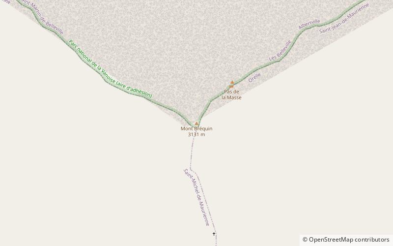
Mont Brequin is a mountain of Savoie, France. It lies in the Massif de la Vanoise range. It has an elevation of 3,130 metres above sea level. ()
Location
Auvergne-Rhône-Alpes
ContactAdd
Social media
Add
Day trips