Grand Pic de Belledonne

Gallery (1)
Map
Map
Facts and practical information
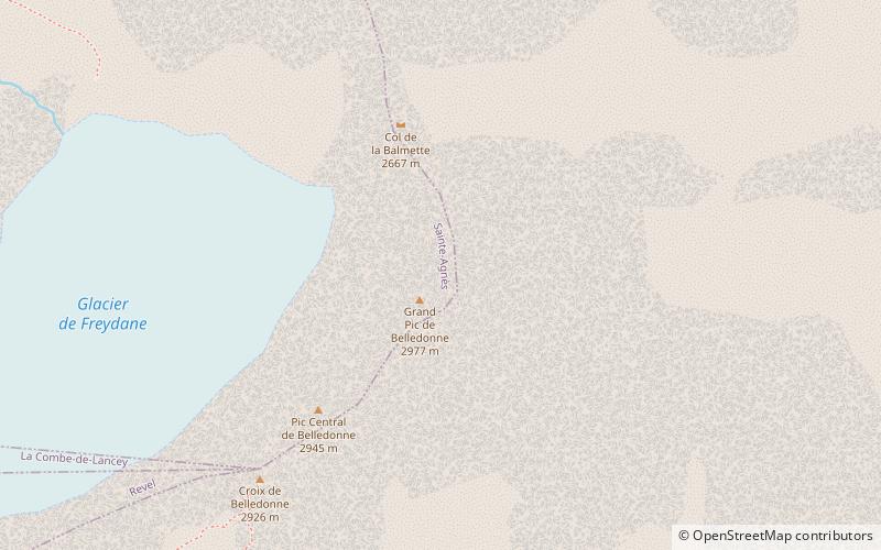
The Grand Pic de Belledonne is the highest mountain in the Belledonne massif in the Dauphiné Alps at 2,977 metres. ()
Local name: Grand pic de Belledonne First ascent: 1859Elevation: 9767 ftProminence: 3455 ftCoordinates: 45°10'17"N, 5°59'30"E
Location
Auvergne-Rhône-Alpes
ContactAdd
Social media
Add
Day trips


