Pic Bayle
Map

Map

Facts and practical information
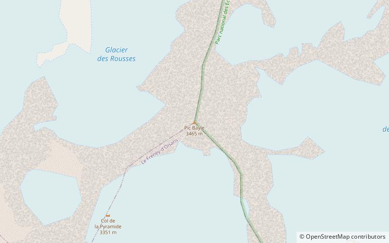
Pic Bayle is a summit in the Dauphiné Alps, culminating at a height of 3,465 m, the highest point of the Massif des Grandes Rousses. It is above the resort of Alpe D'Huez. ()
Alternative names: First ascent: 1874Elevation: 11368 ftProminence: 3855 ftCoordinates: 45°8'16"N, 6°8'8"E
Location
Auvergne-Rhône-Alpes
ContactAdd
Social media
Add
Day trips
Pic Bayle – popular in the area (distance from the attraction)
Nearby attractions include: Golf de l'Alpe d'Huez, Lac du Verney, Lac Besson, Notre-Dame des Neiges.


