Porte de Paris, Nevers
Map
Gallery
Facts and practical information
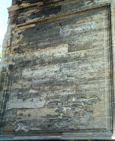
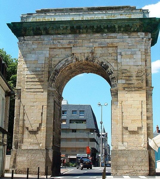
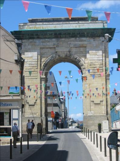
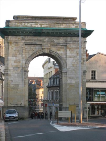
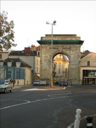
The Porte de Paris is one of the gates of the city walls of Nevers, France. It is located at the corner of the rue des Ardilliers and the place de la Résistance.
Coordinates: 46°59'33"N, 3°9'39"E
Address
Square de la RésistanceNevers
ContactAdd
Social media
Add
Day trips
Porte de Paris – popular in the area (distance from the attraction)
Nearby attractions include: Palais ducal de Nevers, Nevers Cathedral, Avant-Porte du Croux, Saint Stephen's Church.
Frequently Asked Questions (FAQ)
Which popular attractions are close to Porte de Paris?
Nearby attractions include Saint Stephen's Church, Nevers (4 min walk), Chapelle Sainte-Marie, Nevers (7 min walk), Palais ducal de Nevers, Nevers (8 min walk), Rempart des Carmélites, Nevers (9 min walk).
How to get to Porte de Paris by public transport?
The nearest stations to Porte de Paris:
Bus
Train
Bus
- Résistance • Lines: 14, 4, T1, T2 (2 min walk)
- Place de l'Europe • Lines: 14, 4 (2 min walk)
Train
- Nevers (16 min walk)
- Nevers-le-Banlay (26 min walk)


