Lac Cornu, Chamonix
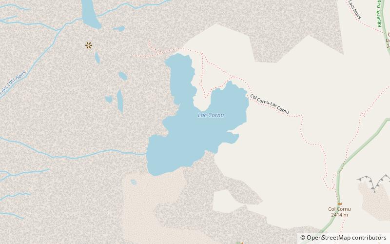
Map

Map

Facts and practical information
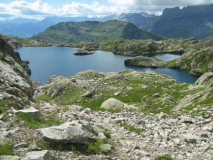
Lac Cornu is a lake in the Aiguilles Rouges massif of Haute-Savoie, France. It is located at an elevation of 2276 m with a surface area of 5.4 ha. ()
Alternative names: Area: 134.43 acres (0.21 mi²)Length: 1345 ftWidth: 1115 ftMaximum depth: 72 ftElevation: 7470 ft a.s.l.Coordinates: 45°57'28"N, 6°50'54"E
Address
Chamonix
ContactAdd
Social media
Add
Day trips
Lac Cornu – popular in the area (distance from the attraction)
Nearby attractions include: Centre Sportif Richard Bozon, Lac Blanc, La Flégère, Lac de Pormenaz.
Frequently Asked Questions (FAQ)
How to get to Lac Cornu by public transport?
The nearest stations to Lac Cornu:
Aerialway
Aerialway
- Index • Lines: Index (36 min walk)


