La Flégère, Chamonix
Map

Map

Facts and practical information
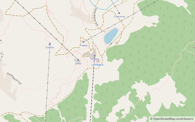
La Flégère is the side of the Aiguilles Rouges overlooking the Chamonix-Mont-Blanc valley to the north.
The valley was connected to the Flégère by a 60-seat cable car. The latter has been replaced by gondolas, which will be in service in December 2019. Their departure point is located in the village of Les Praz de Chamonix. The bottom station of the gondola at La Flégère is located at an altitude of 1,877 m. A refuge is located next to the top station.
Coordinates: 45°57'36"N, 6°53'14"E
Address
Pont de la Flégère, 74400 Chamonix-Mont-BlancChamonix
Contact
+33 4 50 55 34 88
Social media
Add
Day trips
La Flégère – popular in the area (distance from the attraction)
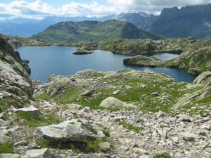
Nearby attractions include: Centre Sportif Richard Bozon, Lac Blanc, Musée alpin, Le Brévent.
Frequently Asked Questions (FAQ)
When is La Flégère open?
La Flégère is open:
- Monday 10:30 am - 3 pm
- Tuesday 10:30 am - 3 pm
- Wednesday 10:30 am - 3 pm
- Thursday 10:30 am - 3 pm
- Friday 10:30 am - 3 pm
- Saturday 10:30 am - 3 pm
- Sunday 10:30 am - 3 pm
How to get to La Flégère by public transport?
The nearest stations to La Flégère:
Aerialway
Train
Bus
Aerialway
- Flégère • Lines: Flégère (1 min walk)
- Index • Lines: Index (24 min walk)
Train
- Les Tines (23 min walk)
- La Joux (30 min walk)
Bus
- Les Tines • Lines: 11, 12, 2, C, V2 (23 min walk)
- Le Lavancher • Lines: 2, C, V2 (23 min walk)


