Fort du Mont-Alban, Nice
Map
Gallery
Facts and practical information
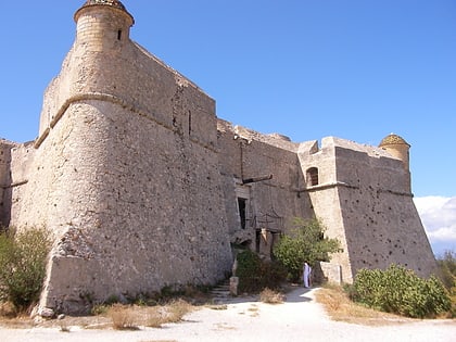
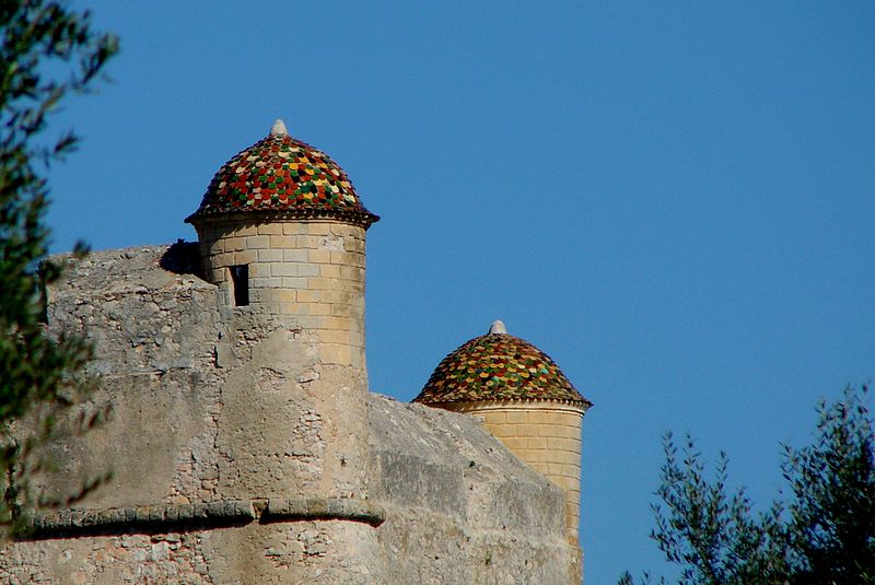
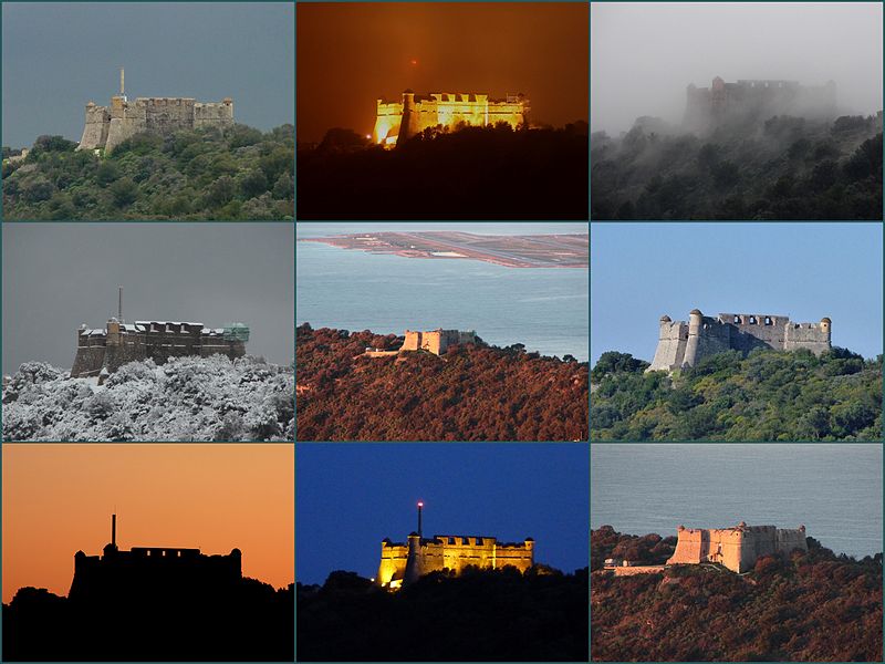
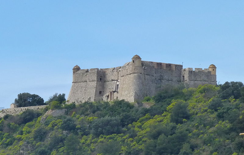
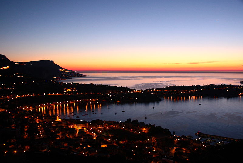
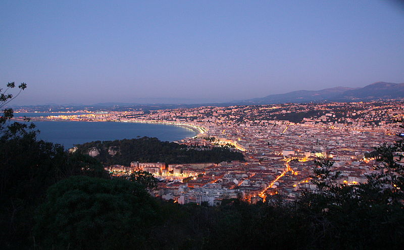
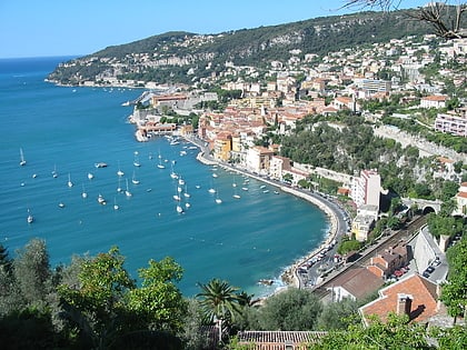
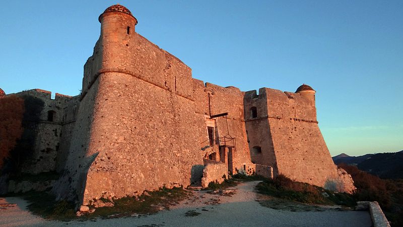
The fort of Mount Alban is a military fortification. Built between 1557 and 1560 on the eponymous hill between Nice and the harbor of Villefranche, it is one of the rare testimonies of military architecture of the middle of the 16th century in France in a good state of preservation.
Coordinates: 43°42'4"N, 7°17'59"E
Address
Chemin du Fort du Mont-AlbanMont Boron (Mont Alban)Nice 06000
ContactAdd
Social media
Add
Day trips
Fort du Mont-Alban – popular in the area (distance from the attraction)
Nearby attractions include: MAMAC, Palais Lascaris, Castle of Nice, Cimetière du Château.
Frequently Asked Questions (FAQ)
Which popular attractions are close to Fort du Mont-Alban?
Nearby attractions include Port de la Darse, Nice (12 min walk), Terra Amata Archaeological Site, Nice (15 min walk), Citadelle Saint-Elme, Nice (15 min walk), Saint-Pierre Chapel, Nice (15 min walk).
How to get to Fort du Mont-Alban by public transport?
The nearest stations to Fort du Mont-Alban:
Bus
Train
Tram
Ferry
Bus
- L'Auberge • Lines: 33 (4 min walk)
- L'Escale • Lines: 112, 33 (4 min walk)
Train
- Nice Riquier (15 min walk)
- Villefranche-sur-Mer (22 min walk)
Tram
- Saint-Jean d'Angély Université • Lines: 1 (20 min walk)
- Port Lympia • Lines: 2 (21 min walk)
Ferry
- Nice Ferry Terminal (24 min walk)
