Port de la Darse, Nice
Map
Gallery
Facts and practical information
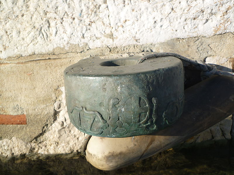
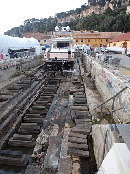
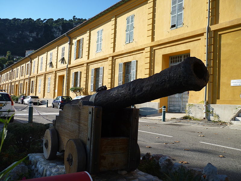
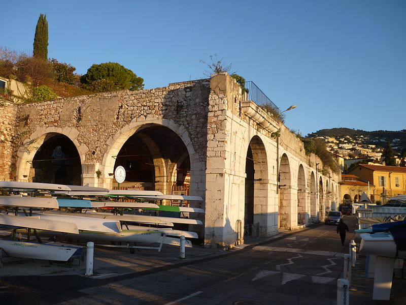
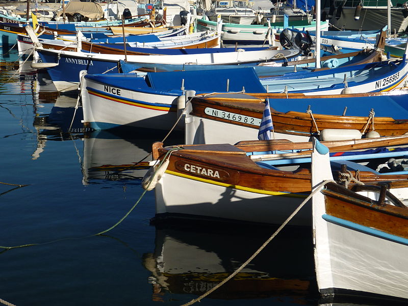
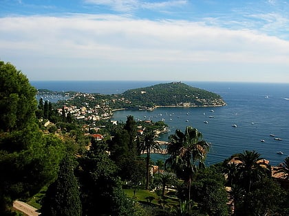
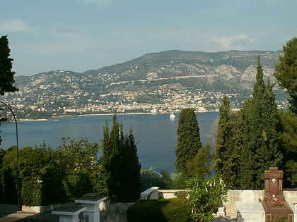
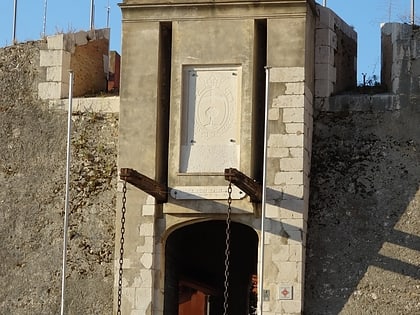
The dock of Villefranche-sur-Mer is the historical port of this city in the Alpes-Maritimes, on the French Riviera. It is the former arsenal of the Duchy of Savoy, which later became the Kingdom of Sardinia. The main buildings of the port are protected by the Monuments historiques since 1991.
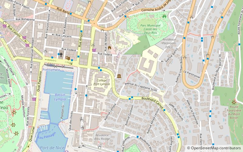
Coordinates: 43°41'55"N, 7°18'31"E
Address
Nice
ContactAdd
Social media
Add
Day trips
Port de la Darse – popular in the area (distance from the attraction)
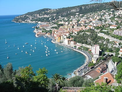
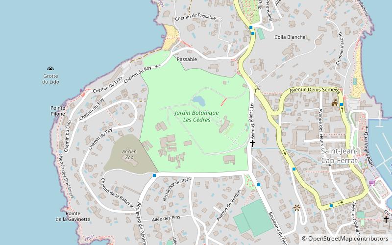
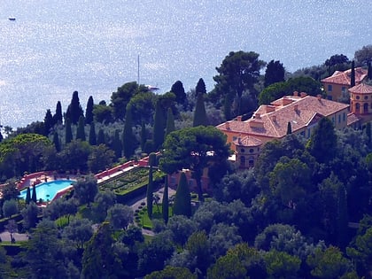
Nearby attractions include: Villa Ephrussi de Rothschild, Grotte du Lazaret, Villefranche-sur-Mer, Jardin botanique "Les Cèdres".
Frequently Asked Questions (FAQ)
Which popular attractions are close to Port de la Darse?
Nearby attractions include Citadelle Saint-Elme, Nice (6 min walk), Saint-Pierre Chapel, Nice (10 min walk), Villefranche-sur-Mer, Nice (10 min walk), St. Michael's Church, Nice (11 min walk).
How to get to Port de la Darse by public transport?
The nearest stations to Port de la Darse:
Bus
Train
Tram
Ferry
Bus
- Corderie • Lines: 80 (2 min walk)
- Darse - Capitainerie • Lines: 80 (4 min walk)
Train
- Villefranche-sur-Mer (17 min walk)
- Nice Riquier (27 min walk)
Tram
- Saint-Jean d'Angély Université • Lines: 1 (31 min walk)
- Saint-Roch (31 min walk)
Ferry
- Nice Ferry Terminal (32 min walk)


