Place Ampère, Lyon
Map
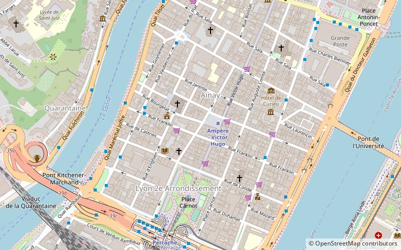
Map

Facts and practical information
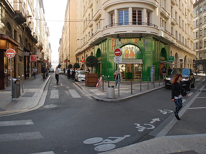
The Place Ampère is a pedestrian square located in the Ainay square, in the 2nd arrondissement of Lyon. It is nearly the middle of the rue Victor-Hugo and is served by the metro station Ampère - Victor Hugo. ()
Address
Arrondissement 2E (Arrondissement 2E Grand Quartier Nø 03)Lyon
ContactAdd
Social media
Day trips
Place Ampère – popular in the area (distance from the attraction)
Nearby attractions include: Rue Victor-Hugo, Rue Émile-Zola, Jardin des Curiosités, Grande synagogue de Lyon.
Frequently Asked Questions (FAQ)
Which popular attractions are close to Place Ampère?
Nearby attractions include Ainay, Lyon (1 min walk), Table et Vins d'Ainay, Lyon (2 min walk), Presqu'île, Lyon (3 min walk), Place Carnot, Lyon (4 min walk).
How to get to Place Ampère by public transport?
The nearest stations to Place Ampère:
Metro
Bus
Tram
Train
Ferry
Trolleybus
Metro
- Ampère - Victor Hugo • Lines: A (1 min walk)
- Perrache • Lines: A (7 min walk)
Bus
- Ampère - Victor Hugo • Lines: S1 (2 min walk)
- Ainay • Lines: S1 (4 min walk)
Tram
- Perrache • Lines: T1, T2 (7 min walk)
- Quai Claude Bernard • Lines: T1 (11 min walk)
Train
- Lyon-Perrache (10 min walk)
- Minimes - Théâtres romains (14 min walk)
Ferry
- Bellecour • Lines: Vaporetto (13 min walk)
- Confluence • Lines: Vaporetto (24 min walk)
Trolleybus
- Université - Jean Jaurès • Lines: C14, C4 (21 min walk)
- Thibaudière - Jean Jaurès • Lines: C14, C4 (21 min walk)

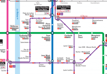 Metro
Metro
