Saint-Sulpice, Paris
Map
Gallery
Facts and practical information
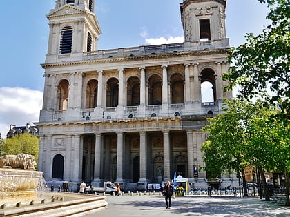
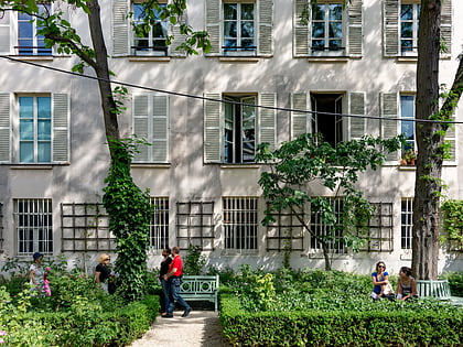
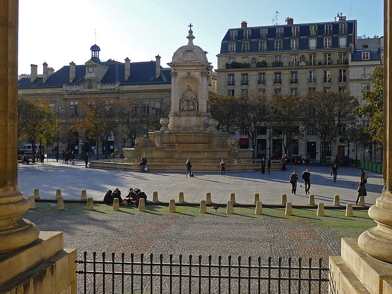
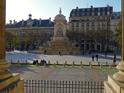
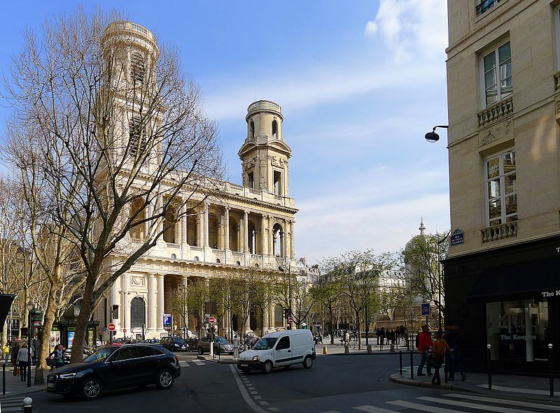
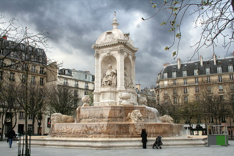
Place Saint Sulpice is a large public square, dominated on its eastern side by the Church of Saint-Sulpice. It was built in 1754 as a tranquil garden in the Latin Quarter of the 6th arrondissement of Paris. ()
Address
Luxembourg (Notre-Dame-des-Champs)Paris
ContactAdd
Social media
Add
Day trips
Saint-Sulpice – popular in the area (distance from the attraction)
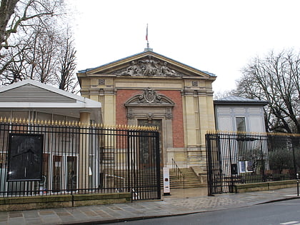
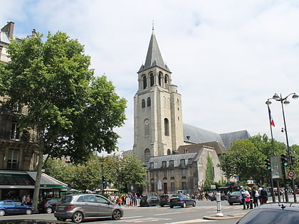
Nearby attractions include: Church of Saint-Sulpice, Le Bon Marché, Musée du Luxembourg, Abbey of Saint-Germain-des-Prés.
Frequently Asked Questions (FAQ)
Which popular attractions are close to Saint-Sulpice?
Nearby attractions include Théâtre du Vieux-Colombier, Paris (1 min walk), Fontaine Saint-Sulpice, Paris (4 min walk), 6th arrondissement of Paris, Paris (4 min walk), Rue Bonaparte, Paris (4 min walk).
How to get to Saint-Sulpice by public transport?
The nearest stations to Saint-Sulpice:
Bus
Metro
Ferry
Train
Bus
- Michel Debré • Lines: 39, 63, 70, 84, 86, 95, 96, N01, N02, N12, N13 (1 min walk)
- Saint-Sulpice • Lines: 84 (3 min walk)
Metro
- Saint-Sulpice • Lines: 4 (1 min walk)
- Sèvres-Babylone • Lines: 10, 12 (5 min walk)
Ferry
- Louvre • Lines: Batobus (15 min walk)
- Musée d'Orsay • Lines: Batobus (18 min walk)
Train
- Luxembourg (16 min walk)
- Musée d'Orsay (17 min walk)


 Metro
Metro