Arboretum Gaston Allard, Angers

Map
Facts and practical information
Day trips
Arboretum Gaston Allard – popular in the area (distance from the attraction)
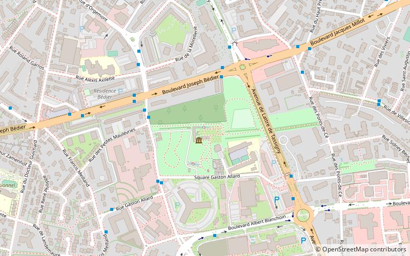
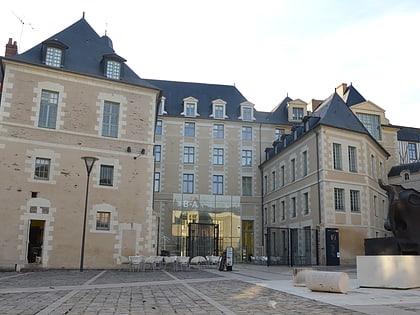
Nearby attractions include: Musée des Beaux-Arts d'Angers, Stade Raymond Kopa, Patinoire du Haras, Catholic University of the West.
Frequently Asked Questions (FAQ)
How to get to Arboretum Gaston Allard by public transport?
The nearest stations to Arboretum Gaston Allard:
Bus
Tram
Train
Bus
- Arboretum • Lines: 11, 5a, 5b (4 min walk)
- De Lattre • Lines: 10, 3, 31, 3d, 3s, 41, 418, 419, 420, 5a, 5b (4 min walk)
Tram
- Bamako • Lines: A (17 min walk)
- Strasbourg • Lines: A (18 min walk)
Train
- Angers Saint-Laud (30 min walk)
- Angers - Maître-École (31 min walk)


