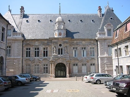
Fort de Chaudanne, Besançon
Map
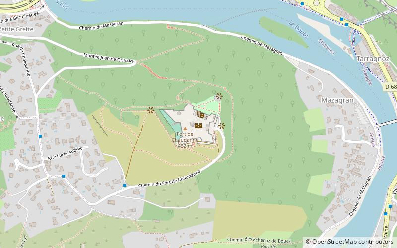
Map

Facts and practical information
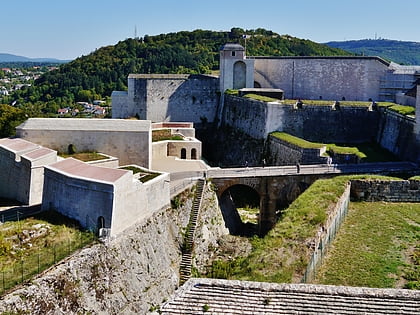
Fort Chaudanne or Fort Baudrand is a fortification located on the Chaudanne hill in the Velotte district of Besançon.
Coordinates: 47°13'37"N, 6°1'25"E
Address
Butte - Frette (Grette)Besançon
ContactAdd
Social media
Add
Day trips
Fort de Chaudanne – popular in the area (distance from the attraction)
Nearby attractions include: Citadel of Besançon, Besançon Cathedral, Square Castan, Besançon astronomical clock.
Frequently Asked Questions (FAQ)
Which popular attractions are close to Fort de Chaudanne?
Nearby attractions include Fontaine des Dames, Besançon (11 min walk), Fontaine du Doubs, Besançon (13 min walk), Citadel of Besançon, Besançon (14 min walk), Church of Our Lady, Besançon (14 min walk).
How to get to Fort de Chaudanne by public transport?
The nearest stations to Fort de Chaudanne:
Bus
Tram
Train
Bus
- Fort de Chaudanne • Lines: 24 (5 min walk)
- Deux Lys • Lines: 24 (8 min walk)
Tram
- Chamars • Lines: T1, T2 (13 min walk)
- Polygone • Lines: T1, T2 (17 min walk)
Train
- Besançon-Mouillère (27 min walk)

