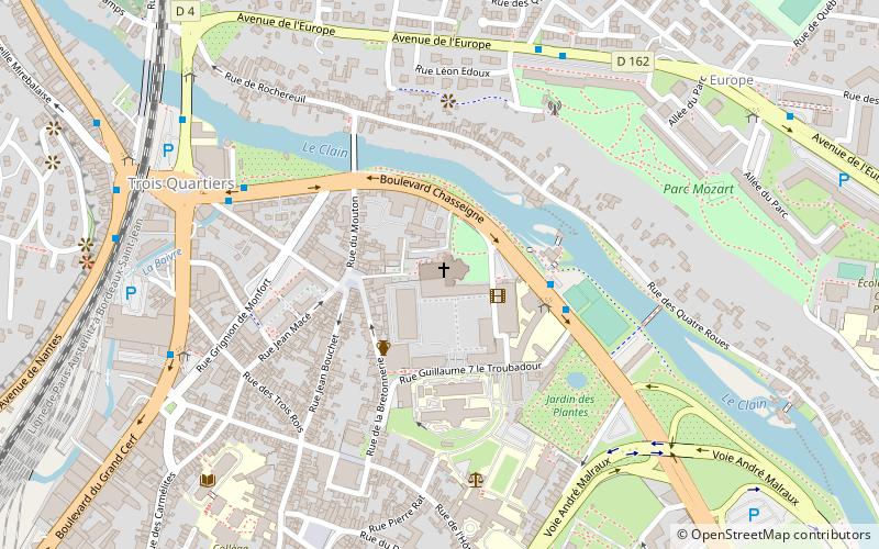
Church of Saint-Jean de Montierneuf, Poitiers
Map

Map

Facts and practical information
Local name: Abbaye Saint-Jean de Montierneuf de Poitiers Architectural style: Romanesque architectureCoordinates: 46°35'21"N, 0°20'43"E
Address
29 Place MontierneufCentre Ville Poitiers (Trois Quartiers)Poitiers 86000
Contact
+33 5 49 39 09 89
Social media
Add
Day trips
Church of Saint-Jean de Montierneuf – popular in the area (distance from the attraction)
Nearby attractions include: Église Notre-Dame la Grande, Stade Michel-Amand, Parc de Blossac, Poitiers Cathedral.
Frequently Asked Questions (FAQ)
Which popular attractions are close to Church of Saint-Jean de Montierneuf?
Nearby attractions include IAE Poitiers, Poitiers (3 min walk), Jardin des Plantes, Poitiers (5 min walk), Hôtel Fumé, Poitiers (8 min walk), University of Poitiers, Poitiers (9 min walk).
How to get to Church of Saint-Jean de Montierneuf by public transport?
The nearest stations to Church of Saint-Jean de Montierneuf:
Bus
Train
Bus
- Jardin des Plantes • Lines: 17 (3 min walk)
- Abbé Frémont • Lines: 17 (6 min walk)
Train
- Poitiers (20 min walk)


