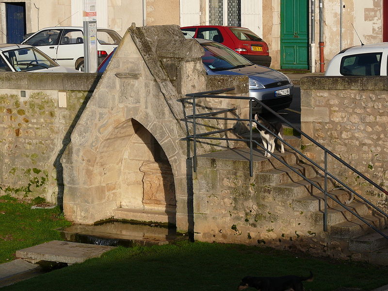
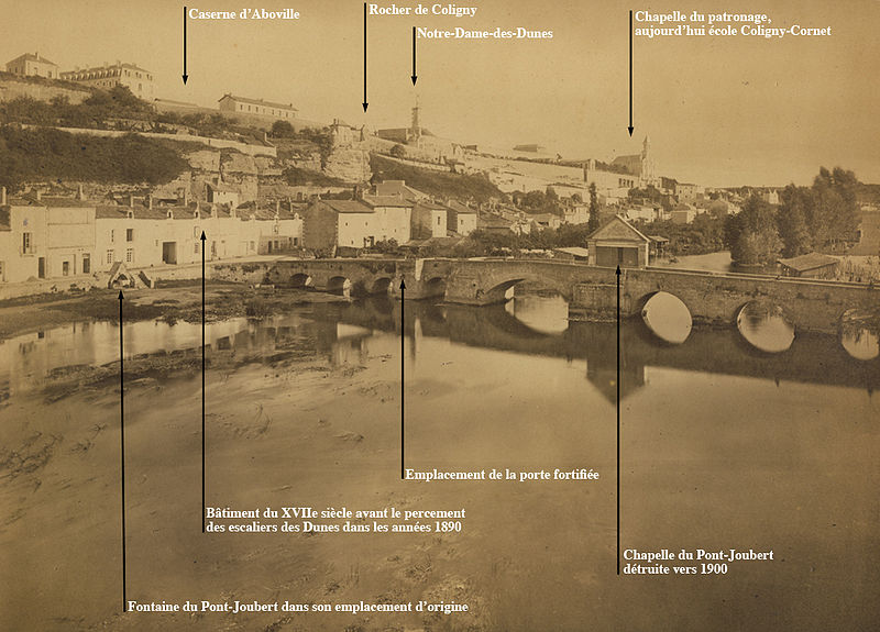
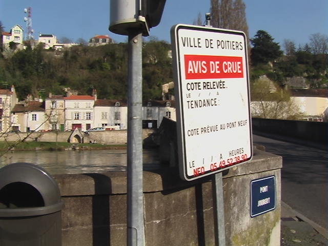
Pont Joubert, Poitiers

Gallery (7)
Map


Map

Gallery
Facts and practical information
The Joubert Bridge is a medieval bridge crossing the cled river in Poitiers.
Coordinates: 46°34'52"N, 0°21'14"E
Address
Montbernage Pont-Neuf (Quatre Roues - Les Dunes)Poitiers
ContactAdd
Social media
Add
Getting there by public transportation
Public transportation stops near this location
- Bus
- Train
 Bus
Bus
- Calculate routePont Joubert 3 min walk
- Calculate routeAboville 4 min walk
- Calculate routePont Neuf 7 min walk
- Calculate routePère de la Croix 7 min walk
- Calculate routePoitiers 26 min walk
Day trips


Frequently Asked Questions (FAQ)
Which popular attractions are close to Pont Joubert?
Nearby attractions include Church of Sainte-Radegonde, Poitiers (4 min walk), Poitiers Cathedral, Poitiers (6 min walk), Baptistère Saint-Jean, Poitiers (8 min walk), Musée Sainte-Croix, Poitiers (9 min walk).
How to get to Pont Joubert by public transport?
The nearest stations to Pont Joubert:
Bus
Train
Bus
- Pont Joubert • Lines: 23 (3 min walk)
- Aboville • Lines: 23 (4 min walk)
Train
- Poitiers (26 min walk)