Place de l'Hôtel-de-Ville - Esplanade de la Libération, Paris
Map
Gallery
Facts and practical information
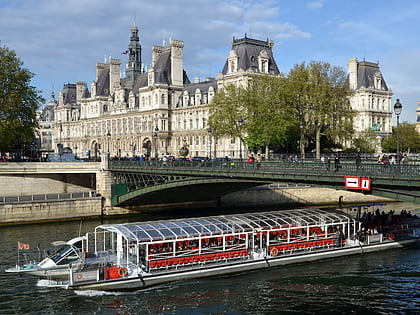
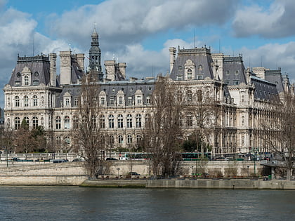
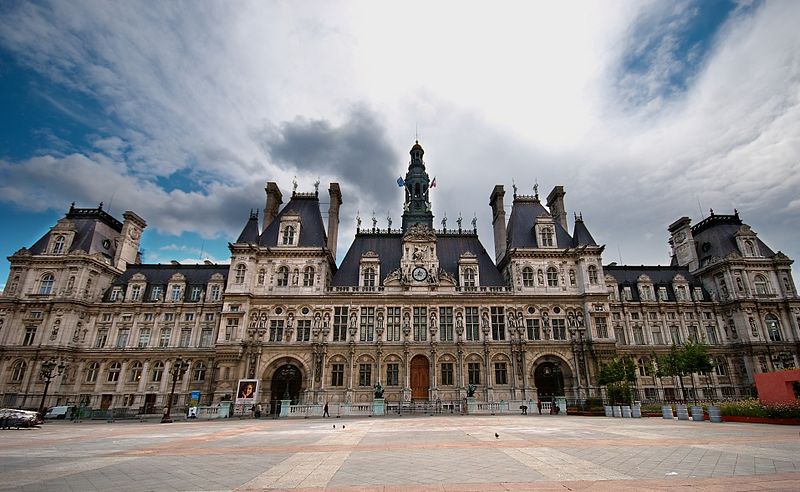
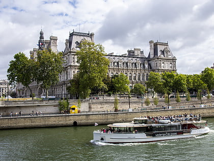
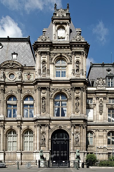
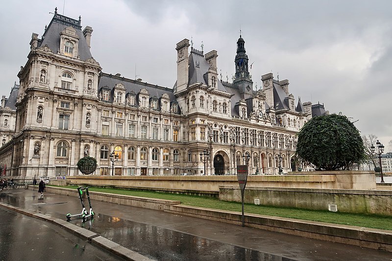
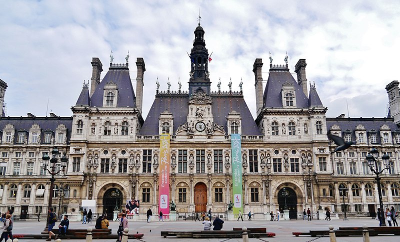
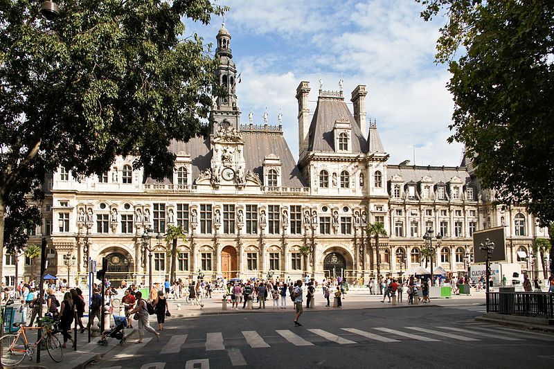
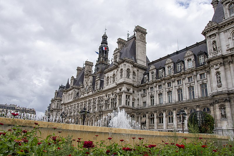
The public square in the 4th arrondissement of Paris that is now the Place de l'Hôtel de Ville was, before 1802, called the Place de Grève. The French word grève refers to a flat area covered with gravel or sand situated on the shores or banks of a body of water. The location presently occupied by the square was the point on the sandy right bank of the river Seine where the first riverine harbor of Paris was established. ()
Address
Hôtel-de-Ville (Saint-Merri)Paris
ContactAdd
Social media
Add
Day trips
Place de l'Hôtel-de-Ville - Esplanade de la Libération – popular in the area (distance from the attraction)
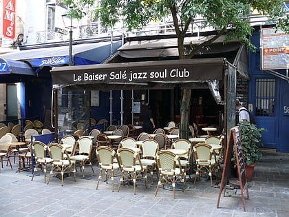
Nearby attractions include: Rue de Rivoli, Musée National d'Art Moderne, Le Baiser Salé, Centre Georges Pompidou.
Frequently Asked Questions (FAQ)
Which popular attractions are close to Place de l'Hôtel-de-Ville - Esplanade de la Libération?
Nearby attractions include City Hall, Paris (1 min walk), Café de la Gare, Paris (2 min walk), Autonomous Port of Paris, Paris (2 min walk), Rue de Rivoli, Paris (3 min walk).
How to get to Place de l'Hôtel-de-Ville - Esplanade de la Libération by public transport?
The nearest stations to Place de l'Hôtel-de-Ville - Esplanade de la Libération:
Metro
Bus
Ferry
Train
Metro
- Hôtel de Ville • Lines: 1, 11 (1 min walk)
- Châtelet • Lines: 1, 11, 14, 4, 7 (6 min walk)
Bus
- Châtelet • Lines: N22 (2 min walk)
- Hôtel de Ville • Lines: 67, 69, 72, 76, 96, N11, N16 (2 min walk)
Ferry
- Hôtel-de-Ville • Lines: Batobus (6 min walk)
- Notre-Dame • Lines: Batobus (10 min walk)
Train
- Châtelet - Les Halles (10 min walk)
- Saint-Michel Notre-Dame (10 min walk)


 Metro
Metro

