Synagogue de Tours, Tours
Map

Map

Facts and practical information
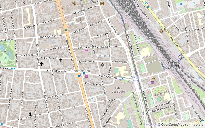
The synagogue of Tours is a Jewish place of worship located at 37, rue Parmentier. It is listed in the supplementary inventory of historical monuments.
Coordinates: 47°23'4"N, 0°41'36"E
Address
GrammontTours
ContactAdd
Social media
Add
Day trips
Synagogue de Tours – popular in the area (distance from the attraction)
Nearby attractions include: Tours Cathedral, Château de Tours, Hôtel Goüin, Museum of Fine Arts.
Frequently Asked Questions (FAQ)
Which popular attractions are close to Synagogue de Tours?
Nearby attractions include Jardin des Prébendes d'Oé, Tours (11 min walk), Chapelle des Minimes, Tours (15 min walk), Fritz l'éléphant, Tours (19 min walk), Rue Nationale, Tours (19 min walk).
How to get to Synagogue de Tours by public transport?
The nearest stations to Synagogue de Tours:
Bus
Tram
Train
Bus
- Palais des Sports • Lines: 103 (3 min walk)
- Boisdenier • Lines: 10, 103, 118, 2 (3 min walk)
Tram
- Palais des Sports • Lines: A (4 min walk)
- Saint-Paul • Lines: A (8 min walk)
Train
- Tours (9 min walk)


