Bernin
#7900 among destinations in France


Facts and practical information
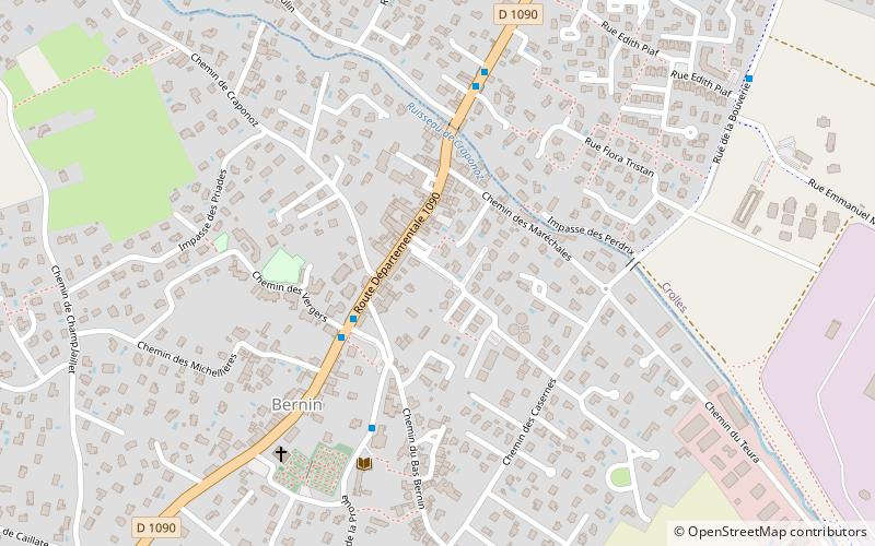
Bernin is a commune in the Isère department in southeastern France. ()
Auvergne-Rhône-AlpesFrance
Bernin – popular in the area (distance from the attraction)
Nearby attractions include: Dent de Crolles, Chamechaude, Lances de Malissard, Chartreuse Mountains.
 Nature, Natural attraction, Mountain
Dent de Crolles, Réserve naturelle nationale des Hauts de Chartreuse
73 min walk • The Dent de Crolles is a karstic mountain of the Chartreuse Mountains range, 17 kilometres north east of Grenoble, Isère, France. It has a characteristic "tooth-like" profile and is easily recognizable in the Isère Valley in the Grenoble area.
 Nature, Natural attraction, Mountain
Chamechaude
105 min walk • Chamechaude is the highest peak in the Chartreuse Mountains, a prominent mountain range in southeastern France, standing at an elevation of 2,082 meters. It is a beacon for hikers and outdoor enthusiasts, offering a challenging ascent and breathtaking views of the...
 Nature, Natural attraction, Mountain
Lances de Malissard, Réserve naturelle nationale des Hauts de Chartreuse
134 min walk • The Lances de Malissard are two summits, located in the Chartreuse Mountains in the Department of Isère, in the French Prealps.
 Nature, Natural attraction, Mountain
Chartreuse Mountains
146 min walk • The Chartreuse Mountains are a mountain range in southeastern France, stretching from the city of Grenoble in the south to the Lac du Bourget in the north.
 Nature, Natural attraction, Mountain pass
Col de Porte
131 min walk • The Col de Porte is a mountain pass situated in the Chartreuse Mountains in the Isère department of France, between Le Sappey-en-Chartreuse to the south and Saint-Pierre-de-Chartreuse to the north.
 Nature, Natural attraction, Valley
Grésivaudan, Tencin
129 min walk • The Grésivaudan is a valley of the French Alps, situated mostly in the Isère. Etymologically, Graisivaudan comes from roots meaning "Grenoble" and "valley".
 Mountain pass
Col de Palaquit, Le Sappey-en-Chartreuse
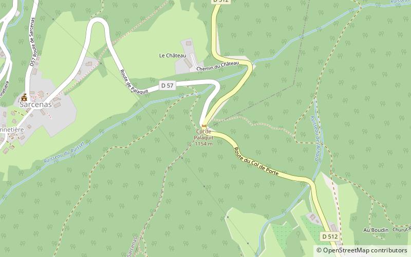
129 min walk • The Col de Palaquit is a mountain pass situated in the Chartreuse Mountains in the Isère department of France, near the village of Sarcenas. The Tour de France cycle race crossed the col for the first time on Stage 13 of the 2014 race.
 45°19'24"N • 5°48'21"E
Église Saint-Hugues-de-Chartreuse, Saint-Pierre-de-Chartreuse
121 min walk • Art museum, Museum, Church

 Forts and castles
Château de Serviantin, Montbonnot-Saint-Martin
99 min walk • The castle of Serviantin, or castle of Biviers, or castle Servien, is a pleasure castle of the fifteenth and sixteenth centuries that stands on the town of Biviers in the department of Isère in the region Auvergne-Rhône-Alpes.
 Fountain
À la mémoire du Docteur Marmonnier, Domène
130 min walk • Dr. Melchior Joseph Marmonier was a physician, mayor of Domène, and associate of Aristide Bergès. He is honored by some, especially in Isère, as the father or precursor of blood transfusion.
