Col de Porte
Map

Map

Facts and practical information
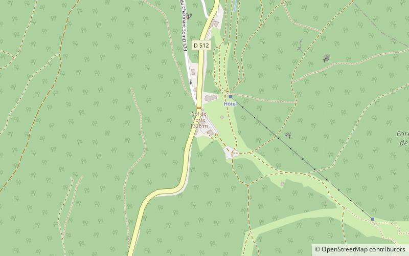
The Col de Porte is a mountain pass situated in the Chartreuse Mountains in the Isère department of France, between Le Sappey-en-Chartreuse to the south and Saint-Pierre-de-Chartreuse to the north. It sits on the D512 between Grenoble and Chambéry, and prior to 1998 was often crossed in conjunction with the Col du Cucheron and the Col du Granier. ()
Location
Auvergne-Rhône-Alpes
ContactAdd
Social media
Add
Day trips
Col de Porte – popular in the area (distance from the attraction)
Nearby attractions include: Dent de Crolles, Chamechaude, Gorges du Guiers Mort, Monastère de Chalais.


